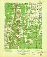
1940 Map of Dee
USGS Topo · Published 1942About this map
Crowleys Ridge dominates the western third of this landscape, creating a distinct geological break from the flat, engineered drainage patterns to the east. This upland area is dotted with foundational community sites like Mt Pisgah Ch Cem & Sch and Locust Grove Ch & Sch, reflecting a settlement pattern tied to the higher ground. The St Louis Southwestern Ry skirts the base of these hills, connecting the county seat at Harrisburg to northern points.
Find a feature on this map
92 named features on this map. Tap any name to fly to it.
Don’t see what you’re looking for? This feature index may not catch every label — zoom into the map to look around manually.
Map Details
Editions of this 1940 Dee Map
This is the sole edition of this map. No revisions or reprints were ever made.
Other maps of this area
1935 · Sedgwick
USGS Topo · 1:62,500
1939 · Vanndale
USGS Topo · 1:62,500
1939 · Weiner
USGS Topo · 1:62,500
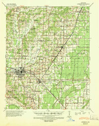
1939 · Jonesboro
USGS Topo · 1:62,500

1940 · Deckerville
USGS Topo · 1:62,500
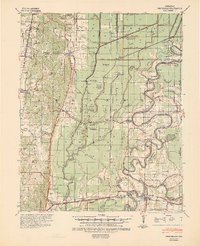
1940 · Princedale
USGS Topo · 1:62,500
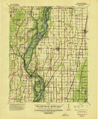
1941 · Leachville
USGS Topo · 1:62,500

1941 · Marked Tree
USGS Topo · 1:62,500

1953 · Memphis
USGS Topo · 1:250,000
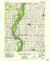
1956 · Leachville
USGS Topo · 1:62,500