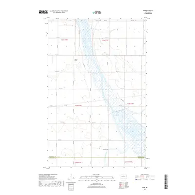
2017 Map of Deep
USGS Topo · Published 2017About this map
Souris River dominates this prairie landscape, carving a wide, braided valley through the northern reaches of McHenry County and Bottineau County. This portion of the northern plains shows a highly organized grid of rural roads, including Co Rd 20 and Grassland Trl, which service the agricultural parcels throughout the region. Water management is a defining characteristic of the terrain, evidenced by the Unit 332 Reservoir and the confluence of the Deep River and Stone Creek. Near the southern boundary, the Deep River Cem serves as a localized landmark for genealogists tracing family histories in this rural township. The presence of Johnson Airport in the northern section highlights the area's reliance on small-scale aviation to connect disparate farming communities across the North Dakota landscape.
Find a feature on this map
35 named features on this map. Tap any name to fly to it.
Don’t see what you’re looking for? This feature index may not catch every label — zoom into the map to look around manually.
Map Details
Editions of this 2017 Deep Map
This is the sole edition of this map. No revisions or reprints were ever made.
Other maps of this area

1948 · Newburg SW
USGS Topo · 1:24,000

1949 · Newburg SW
USGS Topo · 1:24,000

1949 · Landa SW
USGS Topo · 1:24,000

1949 · Kramer
USGS Topo · 1:24,000

1950 · Newburg
USGS Topo · 1:24,000

1950 · Kramer
USGS Topo · 1:24,000

1950 · Deep
USGS Topo · 1:24,000

1950 · Upham
USGS Topo · 1:24,000

1950 · Newburg SE
USGS Topo · 1:24,000

1950 · Landa SW
USGS Topo · 1:24,000