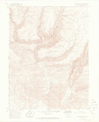
1966 Map of Deep Creek Point
USGS Topo · Published 1969About this map
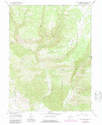
White River National Forest encompasses the deep canyons and high plateaus of this mid-1960s Colorado landscape. The terrain is defined by dramatic elevation changes between points like Deep Creek Point and Meadow Creek Point, overlooking the winding path of Deep Creek. This area was historically utilized for seasonal grazing and resource extraction, evidenced by the Clinetop Cow Camp situated near Clinetop Mesa and the Gray Eagle Mine located in the eastern gulches. A network of pack trails and jeep trails provides the only access through the steep drainages of Hadley Gulch and Euches Gulch. The map records numerous water sources essential for high-altitude survival, including Edwards Spring, Bear Spring, and Joe Hill Spring, which supported the early ranching and mining activities that once occupied these high mesas before modern developments altered the wilderness character.
Find a feature on this map
32 named features on this map. Tap any name to fly to it.
Don’t see what you’re looking for? This feature index may not catch every label — zoom into the map to look around manually.
Map Details
Editions of this 1966 Deep Creek Point Map
6 editions found
Other maps of this area

1906 · Grand Hogback
USGS Topo · 1:125,000

1910 · Grand Hogback
USGS Topo · 1:125,000

1927 · Glenwood Springs
USGS Topo · 1:125,000

1930 · Glenwood Springs
USGS Topo · 1:125,000

1957 · Leadville
USGS Topo · 1:250,000

1959 · Leadville
USGS Topo · 1:250,000

1960 · Leadville
USGS Topo · 1:250,000

1962 · Leadville
USGS Topo · 1:250,000

1962 · New Castle
USGS Topo · 1:24,000

1962 · Storm King Mountain
USGS Topo · 1:24,000