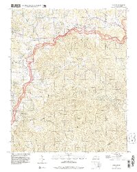
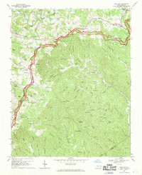
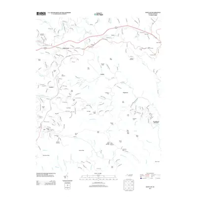
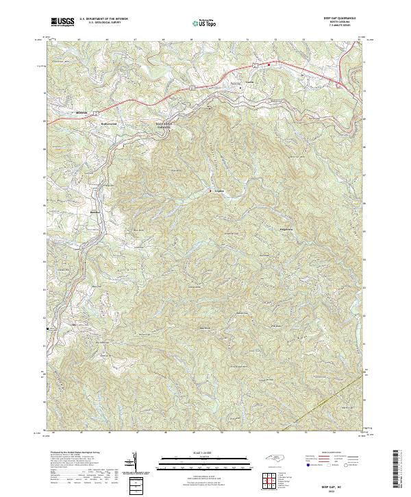
1998 Map of Deep Gap
USGS Topo · Published 1999About this map
The Blue Ridge Parkway defines the high-elevation transport corridor of this late 20th-century survey, winding across the Blue Ridge divide near the Watauga and Wilkes county line. The landscape is dotted with small mountain communities such as Rutherwood, Triplett, and Laxon, many centered around local institutions like Parkway Sch and Mt Ephraim Ch. The topography is defined by the sharp descent from the ridge crest toward the South Fork New River in the north and the headwaters of Elk Creek to the southeast.
Find a feature on this map
76 named features on this map. Tap any name to fly to it.
Don’t see what you’re looking for? This feature index may not catch every label — zoom into the map to look around manually.
Map Details
Editions of this 1998 Deep Gap Map
This is the sole edition of this map. No revisions or reprints were ever made.
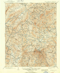
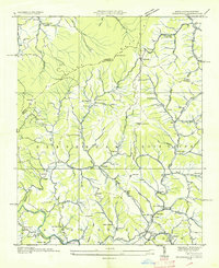
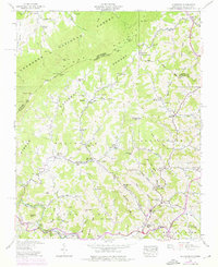
Historical Maps of Boone Through Time
19 maps found

1893 Cranberry
Watauga County, NC

1895 Cranberry
Watauga County, NC

1899 Cranberry
Watauga County, NC
1902 Cranberry
Watauga County, NC
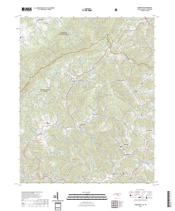
1935 Sherwood
Watauga County, NC
1938 Sherwood
Watauga County, NC
1967 Deep Gap
Watauga County, NC
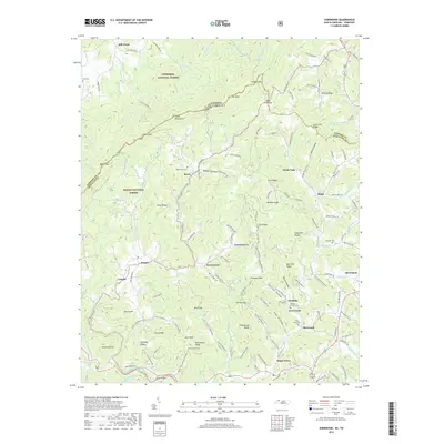
1994 Sherwood
Watauga County, NC
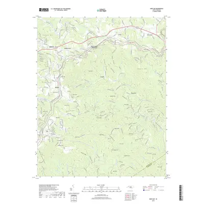
1998 Deep Gap
Watauga County, NC
2010 Deep Gap
Watauga County, NC
2011 Sherwood
Watauga County, NC
2013 Deep Gap
Watauga County, NC
2013 Sherwood
Watauga County, NC
2016 Deep Gap
Watauga County, NC
2016 Sherwood
Watauga County, NC
2019 Deep Gap
Watauga County, NC
2019 Sherwood
Watauga County, NC
2022 Deep Gap
Watauga County, NC
2022 Sherwood
Watauga County, NC