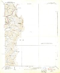
1939 Map of Zionville
USGS Topo · Published 1939About this map
Trade and Zionville sit at the center of this mountain landscape where the border between North Carolina and Tennessee follows the high ridges. Surveyed in the late 1930s, the map reveals a rural economy organized around the creeks and gaps of the High Country. Local life is anchored by family-named sites and community institutions like Greer Cem, Zionville Ch, and the Rich Mtn Sch located near the southern edge.
Find a feature on this map
46 named features on this map. Tap any name to fly to it.
Don’t see what you’re looking for? This feature index may not catch every label — zoom into the map to look around manually.
Map Details
Editions of this 1939 Zionville Map
2 editions found
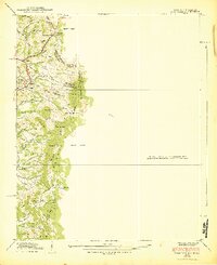
Other maps of this area

1893 · Cranberry
USGS Topo · 1:125,000

1895 · Cranberry
USGS Topo · 1:125,000

1899 · Cranberry
USGS Topo · 1:125,000

1902 · Cranberry
USGS Topo · 1:125,000

1934 · Valle Crucis
USGS Topo · 1:24,000

1934 · Boone
USGS Topo · 1:24,000

1935 · Baldwin Gap
USGS Topo · 1:24,000

1935 · Doe Mountain
USGS Topo · 1:48,000

1935 · Sherwood
USGS Topo · 1:24,000

1935 · Zionville
USGS Topo · 1:24,000