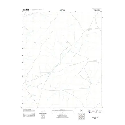
2011 Map of Deep Lake
USGS Topo · Published 2011About this map
Deep Lake sits at the heart of this Apache County landscape, serving as a primary hydrologic focal point in a region defined by its intermittent water sources and ranching infrastructure. The network of drainage shown here, notably Hardscrabble Wash, illustrates the natural flow of the high desert terrain. Local land use is centered around managed water points such as Morgan Spring Well, White Well, and Yellow Tank, which provided essential resources for livestock and settlement in the early 21st century. Antelope Wells Blvd and other local routes navigate the open spaces between smaller water bodies like Hogan Lake and Squaw Lake, revealing a quiet, sparsely populated corner of the Fort Defiance Agency area.
Find a feature on this map
9 named features on this map. Tap any name to fly to it.
Don’t see what you’re looking for? This feature index may not catch every label — zoom into the map to look around manually.
Map Details
Editions of this 2011 Deep Lake Map
This is the sole edition of this map. No revisions or reprints were ever made.
Other maps of this area

1886 · St Johns
USGS Topo · 1:250,000

1886 · Fort Defiance
USGS Topo · 1:250,000

1892 · Fort Defiance
USGS Topo · 1:250,000

1892 · St Johns
USGS Topo · 1:250,000

1954 · Saint Johns
USGS Topo · 1:250,000

1954 · Gallup
USGS Topo · 1:250,000

1957 · Saint Johns
USGS Topo · 1:250,000

1958 · Gallup
USGS Topo · 1:250,000

1958 · Saint Johns
USGS Topo · 1:250,000

1959 · Gallup
USGS Topo · 1:250,000