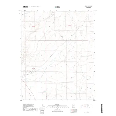
2018 Map of Deep Lake
USGS Topo · Published 2018About this map
Deep Lake and its surrounding water resources dominate this arid landscape on the Navajo Nation near the Arizona-New Mexico border. The terrain is defined by natural catchments and drainage patterns, including Squaw Lake and Hogan Lake, alongside vital water improvements such as Deer Tank and Yellow Tank. These features represent critical infrastructure for ranching and settlement in a region where Hardscrabble Wash and Morgan Canyon provide the primary geographic relief. The local road network, while sparse, is formalized by named routes including Antelope Wells Blvd, Blue Bird Blvd, and Middle Well Rd. The map illustrates a contemporary view of land management within the Township 19 North, Range 29 East and adjacent survey blocks, showing the intersection of traditional topography with modern roadway designations.
Find a feature on this map
17 named features on this map. Tap any name to fly to it.
Don’t see what you’re looking for? This feature index may not catch every label — zoom into the map to look around manually.
Map Details
Editions of this 2018 Deep Lake Map
This is the sole edition of this map. No revisions or reprints were ever made.
Other maps of this area

1886 · St Johns
USGS Topo · 1:250,000

1886 · Fort Defiance
USGS Topo · 1:250,000

1892 · Fort Defiance
USGS Topo · 1:250,000

1892 · St Johns
USGS Topo · 1:250,000

1954 · Saint Johns
USGS Topo · 1:250,000

1954 · Gallup
USGS Topo · 1:250,000

1957 · Saint Johns
USGS Topo · 1:250,000

1958 · Gallup
USGS Topo · 1:250,000

1958 · Saint Johns
USGS Topo · 1:250,000

1959 · Gallup
USGS Topo · 1:250,000