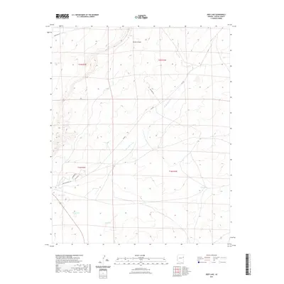
2021 Map of Deep Lake
USGS Topo · Published 2021About this map
Hardscrabble Wash cuts a diagonal path through this arid portion of Apache County, dictating the drainage patterns for a landscape defined by seasonal water sources and canyons. The namesake Deep Lake sits in the southern portion of the quadrangle, part of a series of natural catchments including Hogan Lake and Squaw Lake. These water features were central to local ranching and land use, as evidenced by the naming of Deer Tank and Yellow Tank in the north and east.
Find a feature on this map
17 named features on this map. Tap any name to fly to it.
Don’t see what you’re looking for? This feature index may not catch every label — zoom into the map to look around manually.
Map Details
Editions of this 2021 Deep Lake Map
This is the sole edition of this map. No revisions or reprints were ever made.
Other maps of this area

1886 · St Johns
USGS Topo · 1:250,000

1886 · Fort Defiance
USGS Topo · 1:250,000

1892 · Fort Defiance
USGS Topo · 1:250,000

1892 · St Johns
USGS Topo · 1:250,000

1954 · Saint Johns
USGS Topo · 1:250,000

1954 · Gallup
USGS Topo · 1:250,000

1957 · Saint Johns
USGS Topo · 1:250,000

1958 · Gallup
USGS Topo · 1:250,000

1958 · Saint Johns
USGS Topo · 1:250,000

1959 · Gallup
USGS Topo · 1:250,000