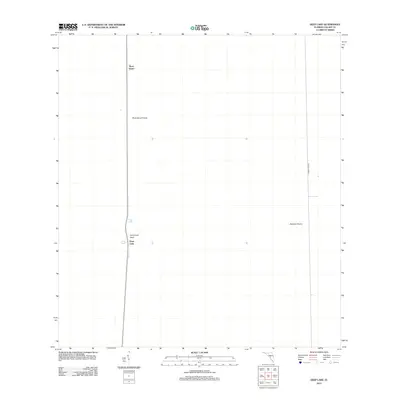
2012 Map of Deep Lake
USGS Topo · Published 2012About this map
Rock Island and the surrounding wetlands of Rock Island Prairie define this portion of the Florida Everglades as it appeared in the early twenty-first century. The landscape is characterized by its distinct cypress heads and open wet prairies, such as Hollywood Head and the broad expanse of Airplane Prairie to the east. At the heart of the region lies the small settlement of Deep Lake, situated alongside its namesake water body.
Find a feature on this map
7 named features on this map. Tap any name to fly to it.
Don’t see what you’re looking for? This feature index may not catch every label — zoom into the map to look around manually.
Map Details
Editions of this 2012 Deep Lake Map
This is the sole edition of this map. No revisions or reprints were ever made.
Other maps of this area
1956 · Miami
USGS Topo · 1:250,000

1956 · West Palm Beach
USGS Topo · 1:250,000

1957 · West Palm Beach
USGS Topo · 1:250,000

1958 · West Palm Beach
USGS Topo · 1:250,000
1958 · Miami
USGS Topo · 1:250,000
1958 · Catherine Island
USGS Topo · 1:24,000
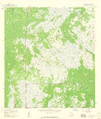
1959 · Miles City
USGS Topo · 1:24,000
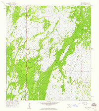
1959 · Deep Lake
USGS Topo · 1:24,000
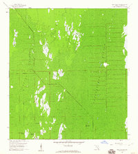
1959 · Deep Lake SW
USGS Topo · 1:24,000
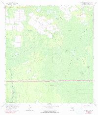
1962 · Catherine Island
USGS Topo · 1:24,000