
1959 Map of Deep Lake SW
USGS Topo · Published 1960About this map
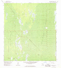
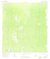
Picayune Strand and Fakahatchee Strand dominate this section of the Florida Everglades during the late 1950s. The landscape is a mosaic of cypress strands and numerous named prairies, such as Twelvemile Prairie, Twelvemile Prairie, and Bear Prairie, which reflect the local nomenclature of the Big Cypress Swamp. An Old Railroad Grade and sections of road listed as under construction reveal the mid-century push for access and resource extraction in this wet interior.
Find a feature on this map
26 named features on this map. Tap any name to fly to it.
Don’t see what you’re looking for? This feature index may not catch every label — zoom into the map to look around manually.
Map Details
Editions of this 1959 Deep Lake SW Map
3 editions found
Other maps of this area

1956 · Miami
USGS Topo · 1:250,000

1956 · West Palm Beach
USGS Topo · 1:250,000

1957 · West Palm Beach
USGS Topo · 1:250,000

1958 · West Palm Beach
USGS Topo · 1:250,000

1958 · Miami
USGS Topo · 1:250,000

1958 · Catherine Island
USGS Topo · 1:24,000

1958 · Belle Meade NE
USGS Topo · 1:24,000

1958 · Belle Meade SE
USGS Topo · 1:24,000

1959 · Miles City
USGS Topo · 1:24,000

1959 · Deep Lake
USGS Topo · 1:24,000