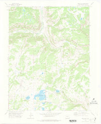
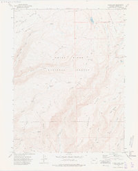
1977 Map of Deep Lake
USGS Topo · Published 1978About this map
White River Plateau geography dominates this high-altitude survey, characterized by the expansive Flat Tops and a dense network of alpine water bodies. The landscape is defined by the headwaters of several drainages, including Nichols Creek and the White River, alongside prominent summits like Hunns Peak and Triangle Mountain. A cluster of recreational sites serves the area, notably the Supply Basin Campground (Lines Folly Campground) and Deep Lake Campground, positioned near the larger bodies of Deep Lake and Heart Lake. Early transportation routes are clearly marked by the Ute Trail and Wagonwheel Trail, which navigate the plateaus and valleys alongside more modern access points like Coffee Pot Road. This 1970s record captures the primitive infrastructure of the Wilderness areas and the White River National Forest before more modern developments, showing several Prospect sites that point to historical mineral exploration.
Find a feature on this map
29 named features on this map. Tap any name to fly to it.
Don’t see what you’re looking for? This feature index may not catch every label — zoom into the map to look around manually.
Map Details
Editions of this 1977 Deep Lake Map
2 editions found
Other maps of this area

1927 · Glenwood Springs
USGS Topo · 1:125,000

1930 · Glenwood Springs
USGS Topo · 1:125,000

1957 · Leadville
USGS Topo · 1:250,000

1959 · Leadville
USGS Topo · 1:250,000

1960 · Leadville
USGS Topo · 1:250,000

1962 · Leadville
USGS Topo · 1:250,000

1964 · Leadville
USGS Topo · 1:250,000
1974 · Broken Rib Creek
USGS Topo · 1:24,000
1974 · Carbonate
USGS Topo · 1:24,000
1974 · Adams Lake
USGS Topo · 1:24,000