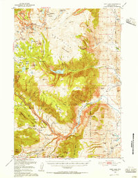
1950 Map of Deep Lake
USGS Topo · Published 1956About this map
The Beartooth Highway carves across the high Beartooth Plateau in this mid-century survey, revealing a landscape defined by dramatic elevation changes and isolated alpine water bodies like Quintuple Peaks and Black Stone Lake. The Clarks Fork Yellowstone River dominates the central topography, winding through the Clarks Fork Canyon where it is joined by numerous tributaries such as Cyclone Creek and Bar Creek.
Find a feature on this map
77 named features on this map. Tap any name to fly to it.
Don’t see what you’re looking for? This feature index may not catch every label — zoom into the map to look around manually.
Map Details
Editions of this 1950 Deep Lake Map
3 editions found
Other maps of this area

1896 · Crandall Creek
USGS Topo · 1:125,000

1898 · Granite Mountain District
USGS Topo · 1:125,000

1899 · Crandall
USGS Topo · 1:125,000

1944 · Red Lodge
USGS Topo · 1:62,500

1949 · Pat O'Hara Mountain
USGS Topo · 1:62,500

1949 · Cody
USGS Topo · 1:62,500

1950 · Clark
USGS Topo · 1:62,500

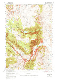
1950 · Deep Lake
USGS Topo · 1:62,500

1951 · Cody
USGS Topo · 1:62,500

1954 · Billings
USGS Topo · 1:250,000