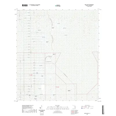
2021 Map of Deep Lake SW
USGS Topo · Published 2021About this map
Fakahatchee Strand and Picayune Strand define this low-lying portion of Collier County, where a vast network of seasonally flooded prairies and hammocks dominates the landscape. The map reveals an intricate geography of named clearings such as Soft Prairie, Bear Prairie, and Twelvemile Prairie, interspersed with higher ground like Pretty Island. In the southern reaches, the labels Royal Palm Hammock and Dan House Prairie point to specific local landmarks that have persisted through decades of environmental change.
Find a feature on this map
65 named features on this map. Tap any name to fly to it.
Don’t see what you’re looking for? This feature index may not catch every label — zoom into the map to look around manually.
Map Details
Editions of this 2021 Deep Lake SW Map
This is the sole edition of this map. No revisions or reprints were ever made.
Other maps of this area

1956 · Miami
USGS Topo · 1:250,000

1956 · West Palm Beach
USGS Topo · 1:250,000

1957 · West Palm Beach
USGS Topo · 1:250,000

1958 · West Palm Beach
USGS Topo · 1:250,000

1958 · Miami
USGS Topo · 1:250,000

1958 · Catherine Island
USGS Topo · 1:24,000

1958 · Belle Meade NE
USGS Topo · 1:24,000

1958 · Belle Meade SE
USGS Topo · 1:24,000

1959 · Miles City
USGS Topo · 1:24,000

1959 · Deep Lake
USGS Topo · 1:24,000