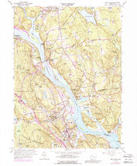
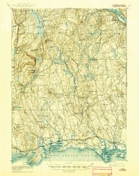
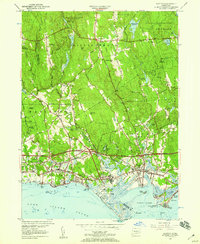
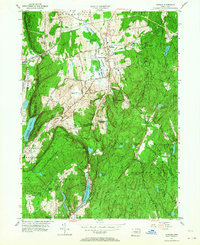
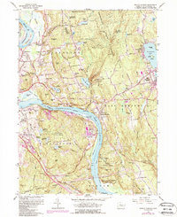
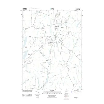
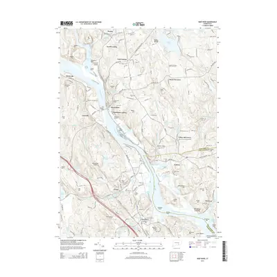
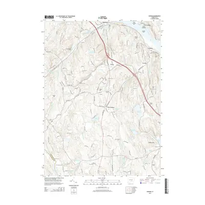
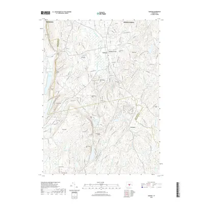
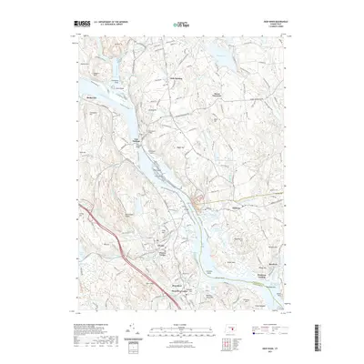
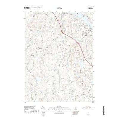
1961 Map of Deep River
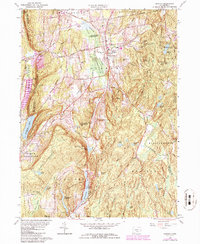
USGS Topo · Published 1988About this map
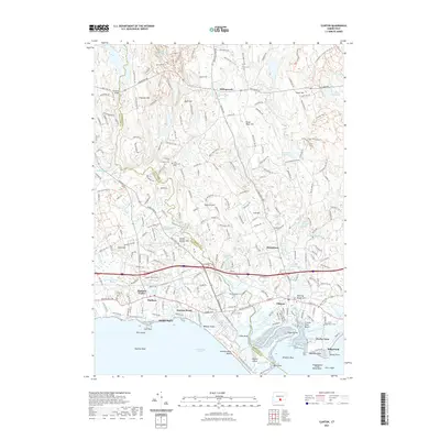
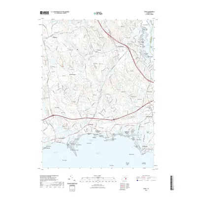
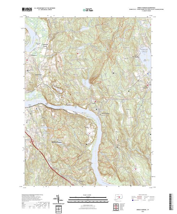
The Connecticut River bisects this river-valley landscape, serving as a primary corridor for the towns of Deep River and East Haddam. The topography is defined by significant elevations such as Mt Parnassus and the Rattlesnake Ledges, overlooking numerous water bodies like Bashan Lake and Chapman Pond. The map illustrates a dense network of early burial grounds and civic institutions, including the Old Cove Burying Ground and Nathan Hale Ray Sch, reflecting the deep colonial roots of Middlesex County.
Find a feature on this map
81 named features on this map. Tap any name to fly to it.
Don’t see what you’re looking for? This feature index may not catch every label — zoom into the map to look around manually.
Map Details
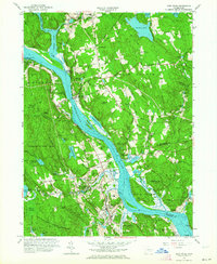
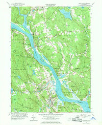
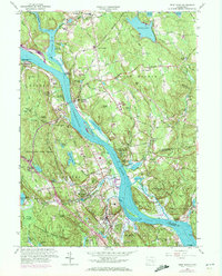
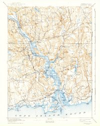
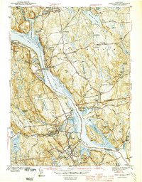
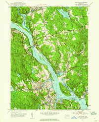
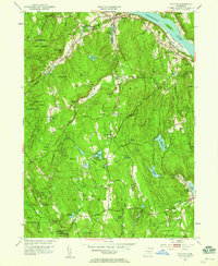
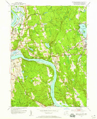
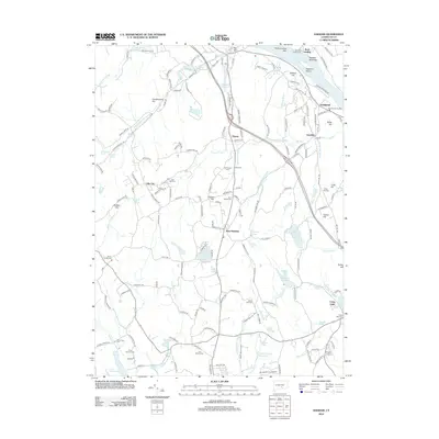
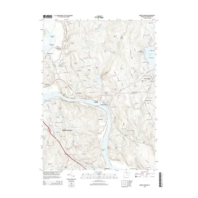
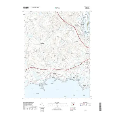
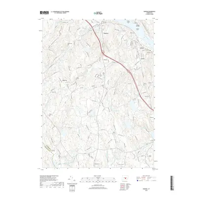
Editions of this 1961 Deep River Map
4 editions found
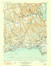
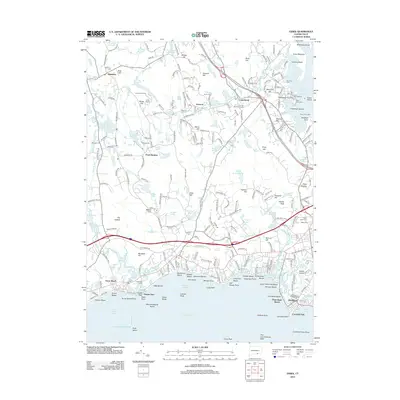
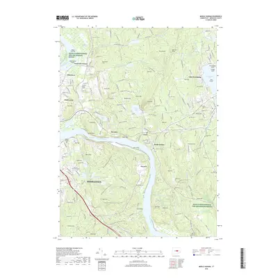
Historical Maps of East Haddam Through Time
49 maps found
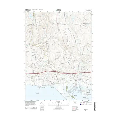
1893 Guilford
Middlesex County, CT
1893 Saybrook
Middlesex County, CT

1928 Cromwell
Middlesex County, CT

1943 Durham
Middlesex County, CT
1944 Deep River
Middlesex County, CT
1944 Essex
Middlesex County, CT

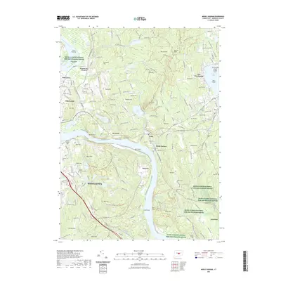
1945 Middle Haddam
Middlesex County, CT
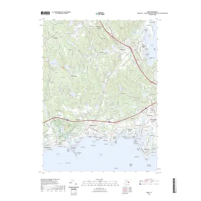
1951 Clinton
Middlesex County, CT
1952 Deep River
Middlesex County, CT
1952 Haddam
Middlesex County, CT
1952 Middle Haddam
Middlesex County, CT
1953 Durham
Middlesex County, CT
1958 Essex
Middlesex County, CT
1961 Clinton
Middlesex County, CT
1961 Deep River
Middlesex County, CT
1961 Haddam
Middlesex County, CT
1961 Middle Haddam
Middlesex County, CT
1964 Durham
Middlesex County, CT
2012 Clinton
Middlesex County, CT
2012 Deep River
Middlesex County, CT
2012 Durham
Middlesex County, CT
2012 Essex
Middlesex County, CT
2012 Haddam
Middlesex County, CT
2012 Middle Haddam
Middlesex County, CT
2015 Clinton
Middlesex County, CT
2015 Deep River
Middlesex County, CT
2015 Durham
Middlesex County, CT
2015 Essex
Middlesex County, CT
2015 Haddam
Middlesex County, CT
2015 Middle Haddam
Middlesex County, CT
2018 Clinton
Middlesex County, CT
2018 Deep River
Middlesex County, CT
2018 Durham
Middlesex County, CT
2018 Essex
Middlesex County, CT
2018 Haddam
Middlesex County, CT
2018 Middle Haddam
Middlesex County, CT
2021 Clinton
Middlesex County, CT
2021 Deep River
Middlesex County, CT
2021 Durham
Middlesex County, CT
2021 Essex
Middlesex County, CT
2021 Haddam
Middlesex County, CT
2021 Middle Haddam
Middlesex County, CT
2023 Essex
Middlesex County, CT
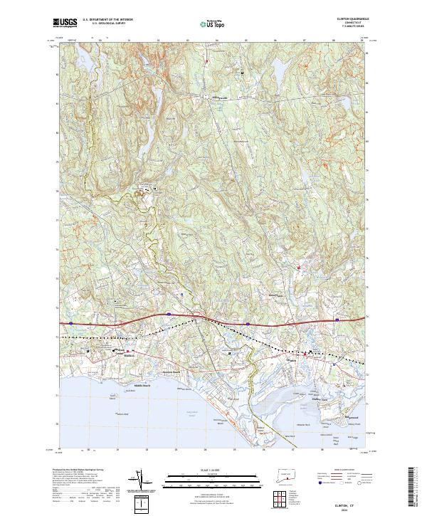
2024 Clinton
Middlesex County, CT
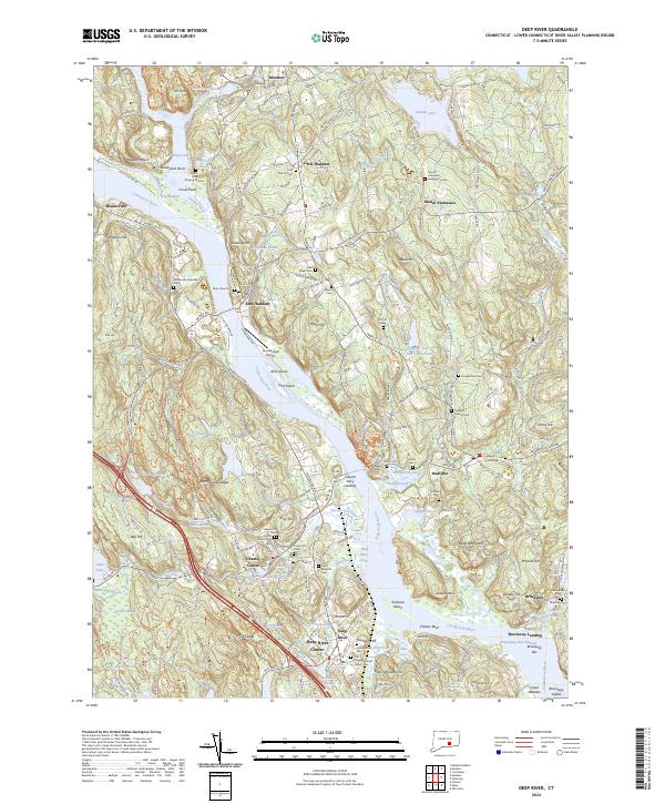
2024 Deep River
Middlesex County, CT
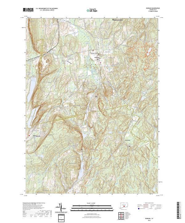
2024 Durham
Middlesex County, CT
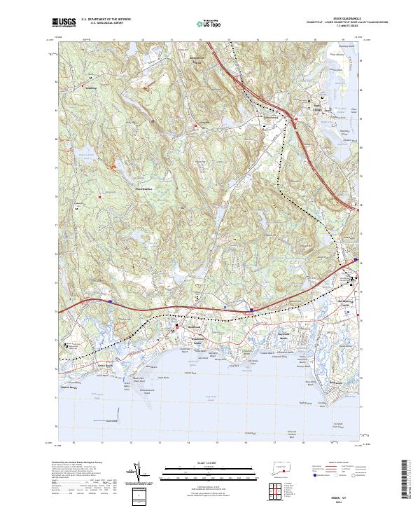
2024 Essex
Middlesex County, CT
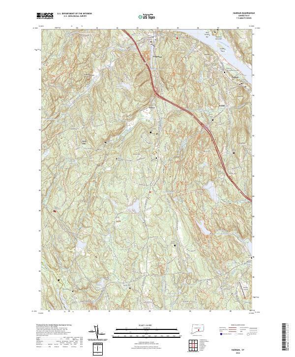
2024 Haddam
Middlesex County, CT
2024 Middle Haddam
Middlesex County, CT