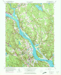
1961 Map of Deep River
USGS Topo · Published 1972About this map
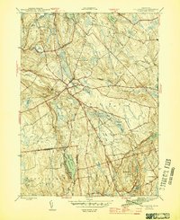
The Connecticut River dominates this mid-century landscape, carving a wide path past historic riverfront settlements and deep wooded preserves. On the eastern bank, Gillette Castle State Park stands atop the heights, while the valley floor below reveals a complex network of tidal flats and islands like Lord Island and Rich Island. The 1961 survey (with 1971 updates) captures the transition from traditional river industry to a landscape of recreation and preservation, evidenced by the numerous state forests and parks including Haddam Meadows State Park and Cockaponset State Forest.
Find a feature on this map
85 named features on this map. Tap any name to fly to it.
Don’t see what you’re looking for? This feature index may not catch every label — zoom into the map to look around manually.
Map Details
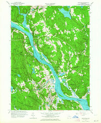
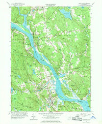
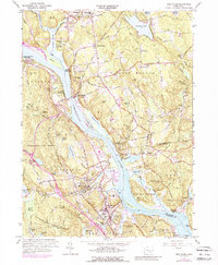
Editions of this 1961 Deep River Map
4 editions found
Other maps of this area

1892 · Gilead
USGS Topo · 1:62,500

1893 · Guilford
USGS Topo · 1:62,500

1893 · Middletown
USGS Topo · 1:62,500

1893 · Saybrook
USGS Topo · 1:62,500

1906 · Farmington
USGS Topo · 1:125,000

1941 · Lyme
USGS Topo · 1:31,680

1944 · Essex
USGS Topo · 1:31,680

1944 · Deep River
USGS Topo · 1:31,680

1945 · Middle Haddam
USGS Topo · 1:31,680
1945 · Colchester
USGS Topo · 1:31,680