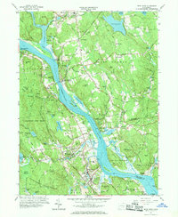
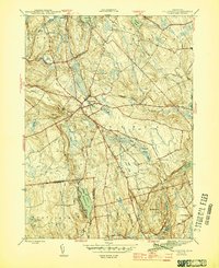
1961 Map of Deep River
USGS Topo · Published 1969About this map
The Connecticut River serves as the central artery of this lower valley landscape, carving a wide path through the highlands of Middlesex and New London counties. Along its banks, the dramatic stone silhouette of Gillette Castle overlooks Hadlyme, while the tracks of the New York New Haven and Hartford railroad trace the western shoreline through Deep River and Tylerville. The region’s deep colonial roots are visible in the many family and parish burying grounds, including the Old Cove Burying Ground near the Salmon River and the Fountain Hill Cemetery. Inland, the terrain is defined by a dense network of hills like Mt Parnassus and Bald Hill, interspersed with managed conservation lands such as the Cockaponset State Forest. From the mills at Moodus to the ferry landing at Brockway Landing, the map documents a transition from early industrial water-power sites to a landscape of state parks and residential river towns.
Find a feature on this map
88 named features on this map. Tap any name to fly to it.
Don’t see what you’re looking for? This feature index may not catch every label — zoom into the map to look around manually.
Map Details
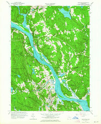
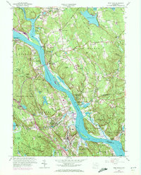
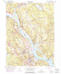
Editions of this 1961 Deep River Map
4 editions found
Other maps of this area

1892 · Gilead
USGS Topo · 1:62,500

1893 · Guilford
USGS Topo · 1:62,500

1893 · Middletown
USGS Topo · 1:62,500

1893 · Saybrook
USGS Topo · 1:62,500

1906 · Farmington
USGS Topo · 1:125,000

1941 · Lyme
USGS Topo · 1:31,680

1944 · Essex
USGS Topo · 1:31,680

1944 · Deep River
USGS Topo · 1:31,680

1945 · Middle Haddam
USGS Topo · 1:31,680
1945 · Colchester
USGS Topo · 1:31,680