
1967 Map of Deer Canyon
USGS Topo · Published 1970About this map
The Pecos River carves a deep, meandering path along the western edge of this 1967 survey, serving as the natural boundary between Crockett Co and Pecos Co. This landscape is defined by the expansion of West Texas energy production during the late 1960s, evidenced by a dense network of Oil Wells, Gas Wells, and Drill Holes scattered across the high plateau. The topography is dominated by major petroleum developments, including the Millard Oil Field, Noel Oil Field, and Halff Oil Field. These industrial features are interspersed among a rugged drainage system characterized by deep incisions like Sixmile Draw, Fourmile Draw, and Deer Canyon. The presence of a Pumping Sta and various Gravel Pits alongside Highway 349 highlights the infrastructure required to sustain the oil fields in this desert environment.
Find a feature on this map
17 named features on this map. Tap any name to fly to it.
Don’t see what you’re looking for? This feature index may not catch every label — zoom into the map to look around manually.
Map Details
Editions of this 1967 Deer Canyon Map
This is the sole edition of this map. No revisions or reprints were ever made.
Other maps of this area

1929 · Sheffield
USGS Topo · 1:125,000

1954 · Sonora
USGS Topo · 1:250,000

1958 · Sonora
USGS Topo · 1:250,000

1967 · Twelvemile Camp
USGS Topo · 1:24,000

1967 · Divide Country
USGS Topo · 1:24,000

1967 · Sheffield NW
USGS Topo · 1:24,000

1967 · Fort Lancaster
USGS Topo · 1:24,000
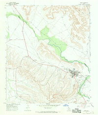
1967 · Iraan
USGS Topo · 1:24,000
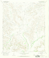
1967 · Owens Creek SW
USGS Topo · 1:24,000
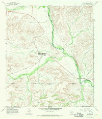
1967 · Sheffield
USGS Topo · 1:24,000