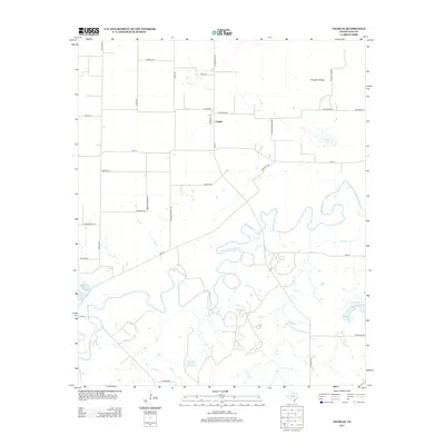
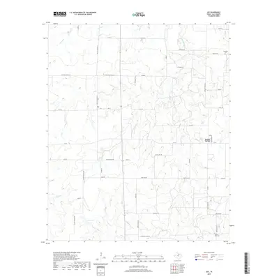
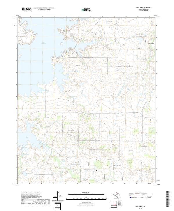
1963 Map of Deer Creek
USGS Topo · Published 1982About this map
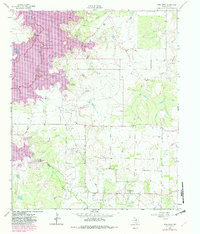
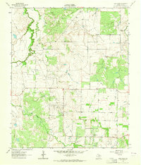
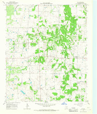
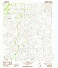
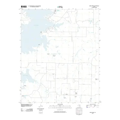
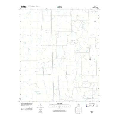
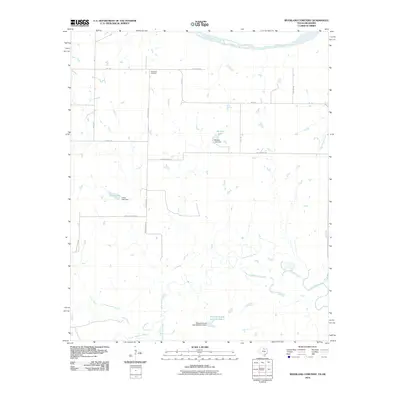
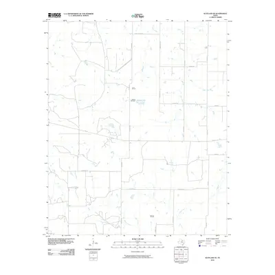
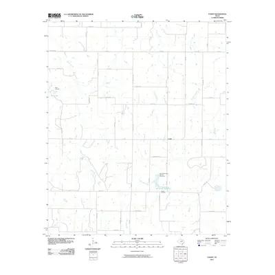
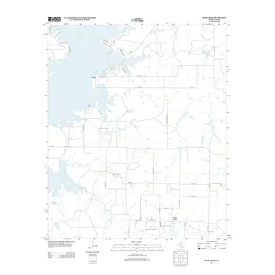
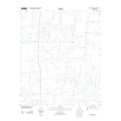
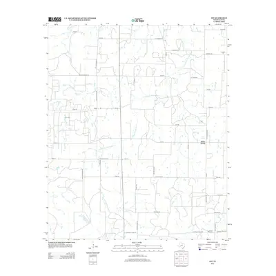
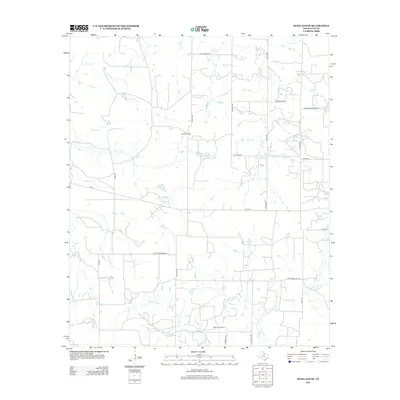
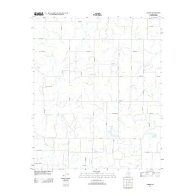
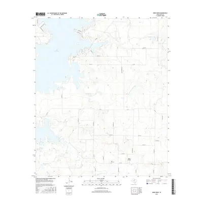
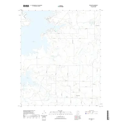
The Little Wichita River valley in Clay County underwent a significant transformation by the early 1980s, as shown by the expansion of Lake Arrowhead. This map illustrates the planned inundation zones, noting a planned normal pool elevation that encroaches upon the historic settlement of Halsell. While the rising waters of the reservoir reshaped the northern landscape, the southern reaches remained defined by a dense network of petroleum extraction sites, including the Vera Strawn Oil Field and the Acme Oil Field.
Find a feature on this map
20 named features on this map. Tap any name to fly to it.
Don’t see what you’re looking for? This feature index may not catch every label — zoom into the map to look around manually.
Map Details
Editions of this 1963 Deer Creek Map
2 editions found
Historical Maps of Halsell Through Time
56 maps found
1957 Wichita Falls East
Clay County, TX
1963 Deer Creek
Clay County, TX
1963 Vashti
Clay County, TX
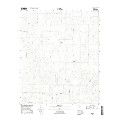
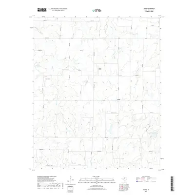
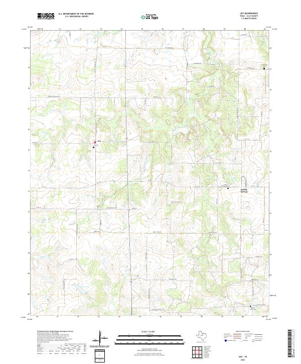
1964 Joy
Clay County, TX
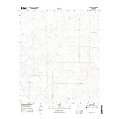
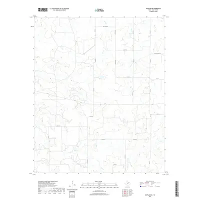
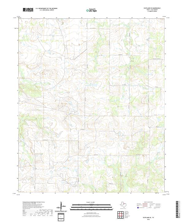
1964 Scotland SE
Clay County, TX
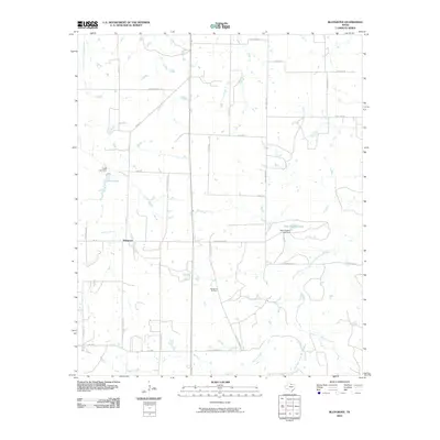
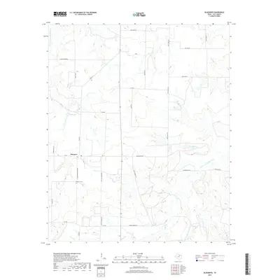
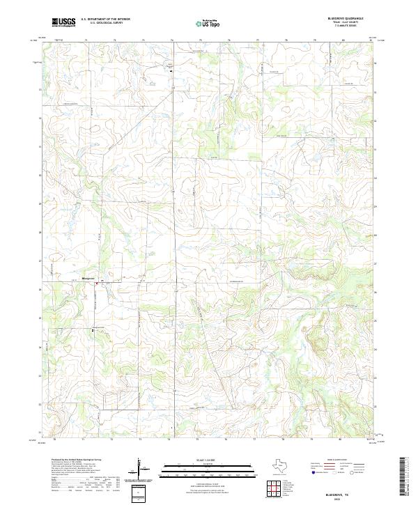
1968 Bluegrove
Clay County, TX
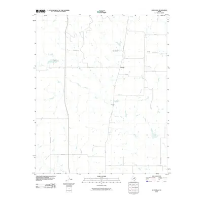
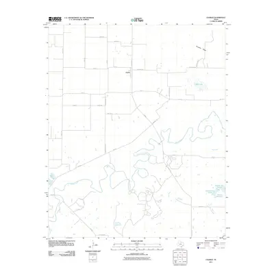
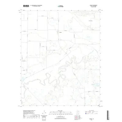
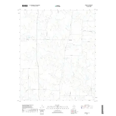
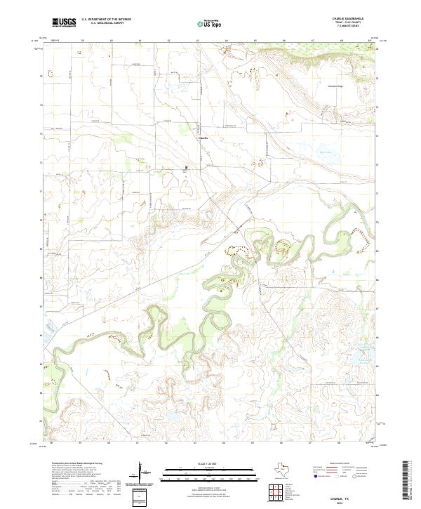
1972 Charlie
Clay County, TX
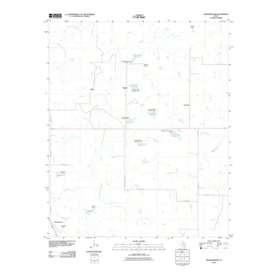
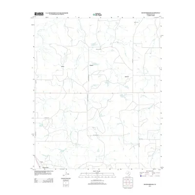
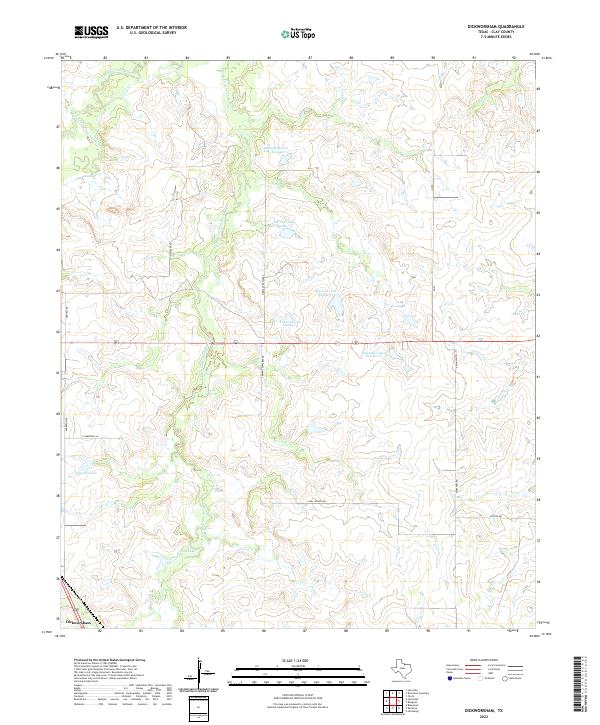
1984 Dickworsham
Clay County, TX
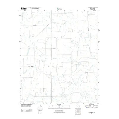
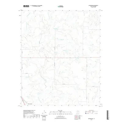
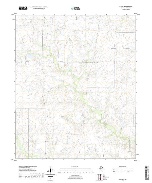
1984 Hurnville
Clay County, TX
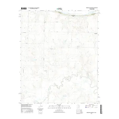
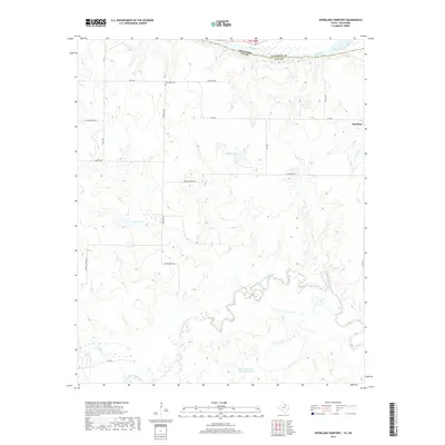
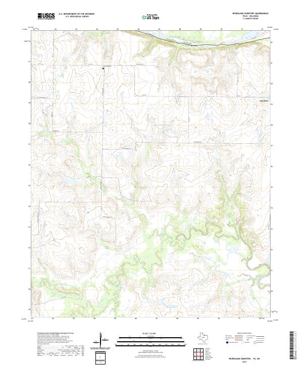
1985 Riverland Cemetery
Clay County, TX
1991 Charlie
Clay County, TX
2010 Bluegrove
Clay County, TX
2010 Deer Creek
Clay County, TX
2010 Dickworsham
Clay County, TX
2010 Hurnville
Clay County, TX
2010 Joy
Clay County, TX
2010 Riverland Cemetery
Clay County, TX
2010 Scotland SE
Clay County, TX
2010 Vashti
Clay County, TX
2011 Charlie
Clay County, TX
2012 Bluegrove
Clay County, TX
2012 Deer Creek
Clay County, TX
2012 Dickworsham
Clay County, TX
2012 Hurnville
Clay County, TX
2012 Joy
Clay County, TX
2012 Scotland SE
Clay County, TX
2012 Vashti
Clay County, TX
2013 Charlie
Clay County, TX
2013 Riverland Cemetery
Clay County, TX
2016 Bluegrove
Clay County, TX
2016 Charlie
Clay County, TX
2016 Deer Creek
Clay County, TX
2016 Dickworsham
Clay County, TX
2016 Hurnville
Clay County, TX
2016 Joy
Clay County, TX
2016 Riverland Cemetery
Clay County, TX
2016 Scotland SE
Clay County, TX
2016 Vashti
Clay County, TX
2019 Bluegrove
Clay County, TX
2019 Charlie
Clay County, TX
2019 Deer Creek
Clay County, TX
2019 Dickworsham
Clay County, TX
2019 Hurnville
Clay County, TX
2019 Joy
Clay County, TX
2019 Riverland Cemetery
Clay County, TX
2019 Scotland SE
Clay County, TX
2019 Vashti
Clay County, TX
2022 Bluegrove
Clay County, TX
2022 Charlie
Clay County, TX
2022 Deer Creek
Clay County, TX
2022 Dickworsham
Clay County, TX
2022 Hurnville
Clay County, TX
2022 Joy
Clay County, TX
2022 Riverland Cemetery
Clay County, TX
2022 Scotland SE
Clay County, TX
2022 Vashti
Clay County, TX