
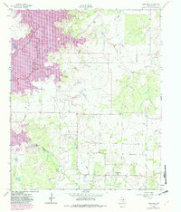
1963 Map of Deer Creek
USGS Topo · Published 1964About this map
The Little Wichita River meanders through the northwest corner of this Clay County landscape, where the local economy of the early 1960s is clearly defined by extensive petroleum extraction. Numerous designated zones including the Vera Strawn Oil Field, Acme Oil Field, and Rifle Oil Field dominate the terrain, interspersed with a network of pipelines and localized Oil Wells. The settlement of Halsell and the community near Deer Creek serve as the primary human anchors in this rural expanse.
Find a feature on this map
18 named features on this map. Tap any name to fly to it.
Don’t see what you’re looking for? This feature index may not catch every label — zoom into the map to look around manually.
Map Details
Editions of this 1963 Deer Creek Map
2 editions found
Other maps of this area

1954 · Wichita Falls
USGS Topo · 1:250,000

1956 · Sloop Creek
USGS Topo · 1:24,000

1956 · Henrietta
USGS Topo · 1:62,500

1957 · Wichita Falls East
USGS Topo · 1:62,500

1958 · Wichita Falls
USGS Topo · 1:250,000

1962 · Windthorst
USGS Topo · 1:24,000

1963 · Scotland
USGS Topo · 1:24,000

1964 · Scotland SE
USGS Topo · 1:24,000
1964 · Joy
USGS Topo · 1:24,000
1968 · Bluegrove
USGS Topo · 1:24,000