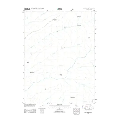
2012 Map of Deer Creek Flat
USGS Topo · Published 2012About this map
Deer Creek Flat characterizes this portion of Tehama County, where the landscape is defined by an intricate network of seasonal drainages and established stock camps. This 2012 survey captures a rugged interior used primarily for ranching and resource management, evidenced by named sites like Apperson Cow Camp, Goat Camp, and Leininger Camp. The geography is centered on the westward flow of Deer Creek and its many tributaries, including Little Dry Creek and Sulphur Creek.
Find a feature on this map
34 named features on this map. Tap any name to fly to it.
Don’t see what you’re looking for? This feature index may not catch every label — zoom into the map to look around manually.
Map Details
Editions of this 2012 Deer Creek Flat Map
This is the sole edition of this map. No revisions or reprints were ever made.
Other maps of this area

1886 · Lassen Peak
USGS Topo · 1:250,000

1891 · Chico
USGS Topo · 1:125,000

1892 · Lassen Peak
USGS Topo · 1:250,000

1893 · Chico
USGS Topo · 1:125,000

1894 · Lassen Peak
USGS Topo · 1:250,000

1895 · Chico
USGS Topo · 1:125,000

1912 · Singer Creek
USGS Topo · 1:31,680

1935 · Paynes Creek
USGS Topo · 1:96,000

1941 · Mineral
USGS Topo · 1:125,000

1944 · Richardson Springs
USGS Topo · 1:62,500