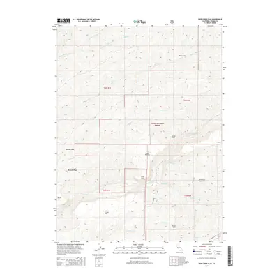
2015 Map of Deer Creek Flat
USGS Topo · Published 2015About this map
Lassen National Forest territory dominates this portion of Tehama County, where the topography is defined by a dense network of creek drainages and dramatic geological features. The namesake Deer Creek carves a central path through the landscape, flanked by named flats and small settlements such as Buena Vista and Roberts Place. The map reveals a land utilized for both its natural resources and rugged passage, highlighted by features like Campbell Ridge and the distinct volcanic or erosional landmark of Steamboat Rock.
Find a feature on this map
30 named features on this map. Tap any name to fly to it.
Don’t see what you’re looking for? This feature index may not catch every label — zoom into the map to look around manually.
Map Details
Editions of this 2015 Deer Creek Flat Map
This is the sole edition of this map. No revisions or reprints were ever made.
Other maps of this area

1886 · Lassen Peak
USGS Topo · 1:250,000

1891 · Chico
USGS Topo · 1:125,000

1892 · Lassen Peak
USGS Topo · 1:250,000

1893 · Chico
USGS Topo · 1:125,000

1894 · Lassen Peak
USGS Topo · 1:250,000

1895 · Chico
USGS Topo · 1:125,000

1912 · Singer Creek
USGS Topo · 1:31,680

1935 · Paynes Creek
USGS Topo · 1:96,000

1941 · Mineral
USGS Topo · 1:125,000

1944 · Richardson Springs
USGS Topo · 1:62,500