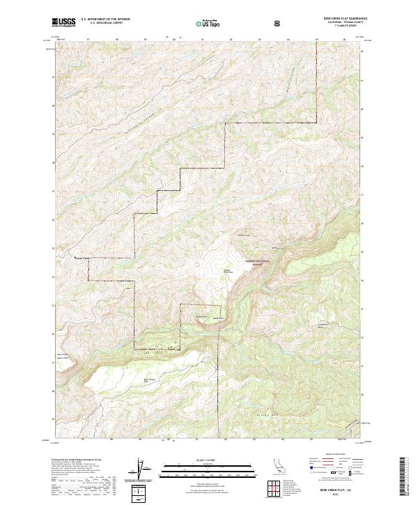
2021 Map of Deer Creek Flat
USGS Topo · Published 2021About this map
Buena Vista anchors a landscape defined by dramatic elevation changes within the southern reaches of the Lassen National Forest. The map details a complex network of canyons and ridges, where seasonal watercourses like Big Dry Creek and the South Fork Little Mill Creek carve deep into the volcanic terrain of Northern California. Historically significant land divisions of the Public Land Survey System are clearly marked, providing a clear view of how these remote mountain sections were organized across townships T26N R1E and T26N R2E. The presence of Digger Pine Flat and Deer Creek Flat suggests the specific localized basins that allowed for early activity amidst the surrounding peaks.
Find a feature on this map
1 named feature on this map. Tap any name to fly to it.
Don’t see what you’re looking for? This feature index may not catch every label — zoom into the map to look around manually.
Map Details
Editions of this 2021 Deer Creek Flat Map
This is the sole edition of this map. No revisions or reprints were ever made.
Other maps of this area

1886 · Lassen Peak
USGS Topo · 1:250,000

1891 · Chico
USGS Topo · 1:125,000

1892 · Lassen Peak
USGS Topo · 1:250,000

1893 · Chico
USGS Topo · 1:125,000

1894 · Lassen Peak
USGS Topo · 1:250,000

1895 · Chico
USGS Topo · 1:125,000

1912 · Singer Creek
USGS Topo · 1:31,680

1935 · Paynes Creek
USGS Topo · 1:96,000

1941 · Mineral
USGS Topo · 1:125,000

1944 · Richardson Springs
USGS Topo · 1:62,500