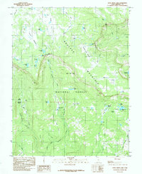
1985 Map of Deer Creek Lake
USGS Topo · Published 1985About this map
Boulder Mountain dominates this portion of the Dixie National Forest in Garfield County, showcasing an intricate network of high-elevation water sources and natural catchments. The landscape is characterized by a dense concentration of glacial lakes and man-made water management features, including Moosman Reservoir and Kings Pasture Reservoir. These features, alongside named locations like Baker Pasture and Riddle Flat, suggest a history of seasonal grazing and water diversion essential for supporting life and livestock in the arid Utah highlands.
Find a feature on this map
55 named features on this map. Tap any name to fly to it.
Don’t see what you’re looking for? This feature index may not catch every label — zoom into the map to look around manually.
Map Details
Editions of this 1985 Deer Creek Lake Map
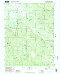
2 editions found
Other maps of this area

1885 · Fish Lake
USGS Topo · 1:250,000

1886 · Escalante
USGS Topo · 1:250,000

1896 · Fish Lake
USGS Topo · 1:250,000

1952 · Notom 3 SW
USGS Topo · 1:24,000

1952 · Notom 3 NW
USGS Topo · 1:24,000

1952 · Notom 3 SE
USGS Topo · 1:24,000

1952 · Notom 3 NE
USGS Topo · 1:24,000

1952 · Grover
USGS Topo · 1:62,500

1953 · Circle Cliffs 2 NE
USGS Topo · 1:24,000

1953 · Loa 4 NE
USGS Topo · 1:24,000