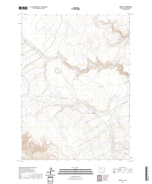
2024 Map of Deer Flat
USGS Topo · Published 2024About this map
The West Little Owyhee Wild and Scenic River carves a deep, winding path through this corner of Malheur County, defining a landscape of high plateau and intricate drainage systems. The terrain transitions from the broad expanse of Deer Flat into steep-walled corridors like Massey Canyon and Louise Canyon. This area is characterized by a high density of vital water sources in an otherwise arid environment, marked by numerous named points such as Horse Hill Spring, Pedroli Spring, and Spare Spring.
Find a feature on this map
26 named features on this map. Tap any name to fly to it.
Don’t see what you’re looking for? This feature index may not catch every label — zoom into the map to look around manually.
Map Details
Editions of this 2024 Deer Flat Map
This is the sole edition of this map. No revisions or reprints were ever made.
Other maps of this area

1882 · Paradise
USGS Topo · 1:250,000

1893 · Paradise
USGS Topo · 1:250,000

1955 · McDermitt
USGS Topo · 1:250,000

1955 · Jordan Valley
USGS Topo · 1:250,000

1957 · Jordan Valley
USGS Topo · 1:250,000

1958 · Jordan Valley
USGS Topo · 1:250,000

1959 · McDermitt
USGS Topo · 1:250,000

1959 · McDermitt
USGS Topo · 1:62,500

1980 · Odell Mountain
USGS Topo · 1:24,000

1980 · Mahogany Spring
USGS Topo · 1:24,000