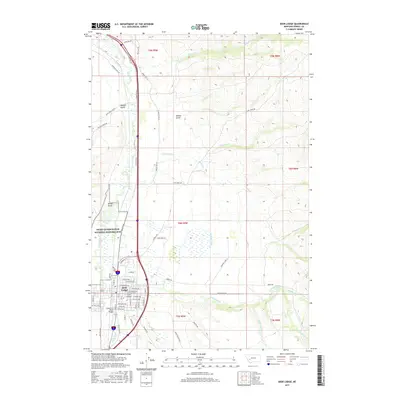
2017 Map of Deer Lodge
USGS Topo · Published 2017About this map
The Grant-Kohrs Ranch National Historic Site anchors the northern reaches of the Deer Lodge Valley, preserving a significant portion of Montana's open-range ranching heritage along the Clark Fork. This 2017 survey shows the town of Deer Lodge as a well-defined grid between the river and the rising foothills to the east, with residential streets like Missouri Ave and St Marys Ave leading toward the commercial center.
Find a feature on this map
58 named features on this map. Tap any name to fly to it.
Don’t see what you’re looking for? This feature index may not catch every label — zoom into the map to look around manually.
Map Details
Editions of this 2017 Deer Lodge Map
This is the sole edition of this map. No revisions or reprints were ever made.
Other maps of this area

1889 · Helena
USGS Topo · 1:250,000

1893 · Helena
USGS Topo · 1:250,000

1899 · Helena
USGS Topo · 1:250,000

1903 · Helena
USGS Topo · 1:250,000

1947 · Butte
USGS Topo · 1:250,000

1958 · Butte
USGS Topo · 1:250,000

1958 · Avon
USGS Topo · 1:62,500

1958 · Garrison
USGS Topo · 1:62,500

1959 · Deer Lodge
USGS Topo · 1:62,500

1960 · Butte
USGS Topo · 1:250,000