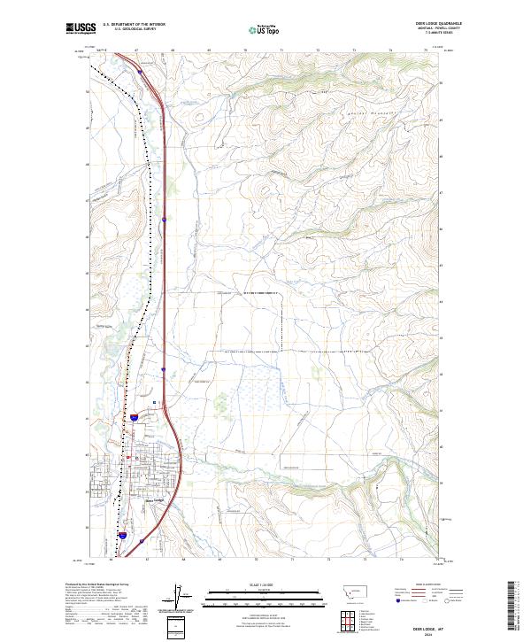
2024 Map of Deer Lodge
USGS Topo · Published 2024About this map
The Grant-Kohrs Ranch National Historic Site preserves a significant legacy of the open-range cattle industry on the edge of modern Deer Lodge. This landscape is defined by the confluence of the Clark Fork and numerous mountain-fed streams like Cottonwood Creek and Peterson Creek. The city street grid, including historic thoroughfares like Milwaukee Ave and Conley Ave, transitions abruptly into the alluvial flats and ranch lands that have sustained the region for generations.
Find a feature on this map
73 named features on this map. Tap any name to fly to it.
Don’t see what you’re looking for? This feature index may not catch every label — zoom into the map to look around manually.
Map Details
Editions of this 2024 Deer Lodge Map
This is the sole edition of this map. No revisions or reprints were ever made.
Other maps of this area

1889 · Helena
USGS Topo · 1:250,000

1893 · Helena
USGS Topo · 1:250,000

1899 · Helena
USGS Topo · 1:250,000

1903 · Helena
USGS Topo · 1:250,000

1947 · Butte
USGS Topo · 1:250,000

1958 · Butte
USGS Topo · 1:250,000

1958 · Avon
USGS Topo · 1:62,500

1958 · Garrison
USGS Topo · 1:62,500

1959 · Deer Lodge
USGS Topo · 1:62,500

1960 · Butte
USGS Topo · 1:250,000