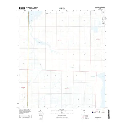
2015 Map of Deer Park NE
USGS Topo · Published 2015About this map
The Saint Johns River serpentines through the heart of this Brevard County landscape, defining the riparian boundary between Osceola and Brevard counties. This 2015 data illustrates a region dominated by the expansive waters of Lake Winder and Lake Washington, connected by the river's main channel and fed by tributaries such as Wolf Creek. The western portion of the map remains largely defined by the grid of the Public Land Survey System, showing the expansive, undeveloped marshlands and prairie typical of the upper Saint Johns River basin.
Find a feature on this map
17 named features on this map. Tap any name to fly to it.
Don’t see what you’re looking for? This feature index may not catch every label — zoom into the map to look around manually.
Map Details
Editions of this 2015 Deer Park NE Map
This is the sole edition of this map. No revisions or reprints were ever made.
Other maps of this area

1949 · Melbourne West
USGS Topo · 1:24,000

1949 · Eau Gallie
USGS Topo · 1:24,000

1949 · Cocoa
USGS Topo · 1:24,000

1951 · Eau Gallie
USGS Topo · 1:24,000

1951 · Cocoa
USGS Topo · 1:24,000

1951 · Melbourne West
USGS Topo · 1:24,000

1953 · Lake Poinsett
USGS Topo · 1:24,000

1953 · Deer Park NE
USGS Topo · 1:24,000

1953 · Deer Park SE
USGS Topo · 1:24,000

1953 · Deer Park NW
USGS Topo · 1:24,000