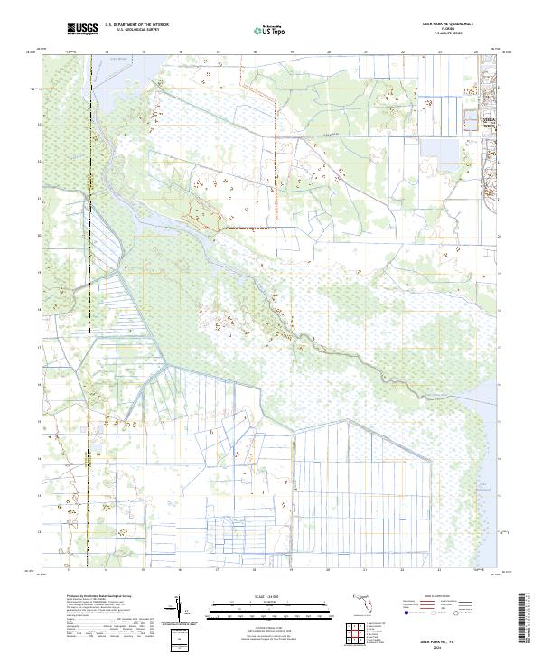
2024 Map of Deer Park NE
USGS Topo · Published 2024About this map
The Saint Johns River corridor defines the western landscape of this area on the Osceola and Brevard County line. The river widens into Lake Winder to the north and Lake Washington to the southeast, creating a vast wetland complex punctuated by Wolf Creek. These waters are central to the local recreation network, highlighted by the St Johns River Blueway Trl which meanders through the marshy terrain.
Find a feature on this map
17 named features on this map. Tap any name to fly to it.
Don’t see what you’re looking for? This feature index may not catch every label — zoom into the map to look around manually.
Map Details
Editions of this 2024 Deer Park NE Map
This is the sole edition of this map. No revisions or reprints were ever made.
Other maps of this area

1949 · Melbourne West
USGS Topo · 1:24,000

1949 · Eau Gallie
USGS Topo · 1:24,000

1949 · Cocoa
USGS Topo · 1:24,000

1951 · Eau Gallie
USGS Topo · 1:24,000

1951 · Cocoa
USGS Topo · 1:24,000

1951 · Melbourne West
USGS Topo · 1:24,000

1953 · Lake Poinsett
USGS Topo · 1:24,000

1953 · Deer Park NE
USGS Topo · 1:24,000

1953 · Deer Park SE
USGS Topo · 1:24,000

1953 · Deer Park NW
USGS Topo · 1:24,000