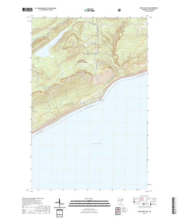
2022 Map of Deer Yard Lake
USGS Topo · Published 2022About this map
Deer Yard Lake and the jagged profile of the Sawtooth Mountains dominate this portion of the Superior National Forest in Cook County. The landscape is defined by its dramatic transition from the high ridges down to the cold waters of Lake Superior. An intricate network of recreational paths, including the Superior Hiking Trl and the Cascade Lookout Mountain Trl, weaves through the timber and across the Cascade River, which descends rapidly toward the coast. Along the shoreline, Minnesota Highway 61 and Cascade Beach Road provide access to the rocky coast at Black Point. The presence of the Deeryard Lake Homeowners Road near the lake suggests a pocket of private development within the otherwise protected federal forest lands. This map highlights the modern intersection of wilderness conservation and seasonal residence, featuring numerous snowmobile and connector trails that support the region's outdoor economy.
Find a feature on this map
43 named features on this map. Tap any name to fly to it.
Don’t see what you’re looking for? This feature index may not catch every label — zoom into the map to look around manually.
Map Details
Editions of this 2022 Deer Yard Lake Map
This is the sole edition of this map. No revisions or reprints were ever made.
Other maps of this area

1919 · Brule Lake
USGS Topo · 1:62,500

1919 · Grand Marais
USGS Topo · 1:62,500

1919 · Lutsen
USGS Topo · 1:62,500

1954 · Two Harbors
USGS Topo · 1:250,000

1957 · Two Harbors
USGS Topo · 1:250,000

1958 · Two Harbors
USGS Topo · 1:250,000

1958 · Deer Yard Lake
USGS Topo · 1:24,000

1958 · Good Harbor Bay
USGS Topo · 1:24,000

1959 · Lutsen
USGS Topo · 1:24,000

1960 · Tait Lake
USGS Topo · 1:24,000