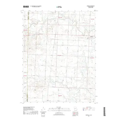
2017 Map of Deerfield
USGS Topo · Published 2017About this map
The Marmaton River flows through the northern reaches of this Vernon County landscape, establishing a drainage network that includes Shiloh Cr and Cottonwood Cr. The small settlements of Eve and Deerfield serve as local anchors along a grid of rural roads like E Panama Rd and S T Hwy. Evidence of early community life is preserved in several burial grounds, including White Cem, Cox Cem, and Logan Cem, which are scattered throughout the agricultural tracts.
Find a feature on this map
73 named features on this map. Tap any name to fly to it.
Don’t see what you’re looking for? This feature index may not catch every label — zoom into the map to look around manually.
Map Details
Editions of this 2017 Deerfield Map
This is the sole edition of this map. No revisions or reprints were ever made.
Other maps of this area

1884 · Fort Scott
USGS Topo · 1:125,000

1886 · Nevada
USGS Topo · 1:125,000

1886 · Fort Scott
USGS Topo · 1:125,000

1893 · Fort Scott
USGS Topo · 1:125,000

1894 · Nevada
USGS Topo · 1:125,000

1938 · Metz
USGS Topo · 1:24,000

1939 · Metz
USGS Topo · 1:24,000

1939 · Deerfield
USGS Topo · 1:24,000

1939 · Moundville
USGS Topo · 1:24,000

1942 · Richards
USGS Topo · 1:24,000