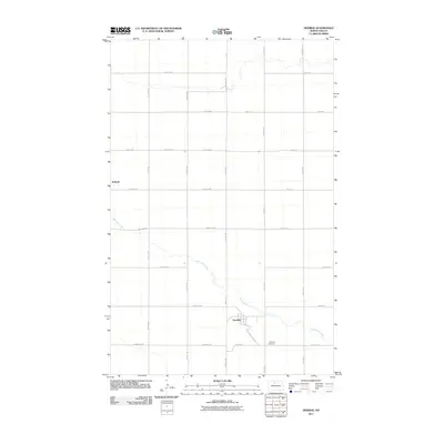
2011 Map of Deering
USGS Topo · Published 2011About this map
Deering serves as the primary hub of this McHenry County landscape, situated along the winding course of Little Deep Creek. The creek meanders through the central and southern portions of the map, creating a distinct topographical contrast to the surrounding section-line road network. Just south of the town center lies the Deering Cemetery, a key landmark for genealogical research in this rural pocket of North Dakota. To the northwest, the settlement of Wolseth remains marked on the map, connected to the broader region by County Hwy-8. This survey reflects the modern agricultural and residential layout of the area in the early 21st century, showing how the local road systems, such as 153rd St NE and 170th Ave NE, conform to the traditional grid while following the natural contours of the riparian corridor.
Find a feature on this map
29 named features on this map. Tap any name to fly to it.
Don’t see what you’re looking for? This feature index may not catch every label — zoom into the map to look around manually.
Map Details
Editions of this 2011 Deering Map
This is the sole edition of this map. No revisions or reprints were ever made.
Other maps of this area

1948 · Newburg SW
USGS Topo · 1:24,000

1949 · Glenburn
USGS Topo · 1:24,000

1949 · Deering NW
USGS Topo · 1:24,000

1949 · Deering SW
USGS Topo · 1:24,000

1949 · Newburg SW
USGS Topo · 1:24,000

1949 · Deering SE
USGS Topo · 1:24,000

1949 · Granville NW
USGS Topo · 1:24,000

1949 · Granville SW
USGS Topo · 1:24,000

1949 · Eckman SE
USGS Topo · 1:24,000

1949 · Deering
USGS Topo · 1:24,000