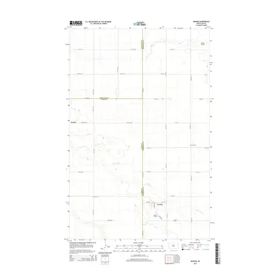
2014 Map of Deering
USGS Topo · Published 2014About this map
Deering serves as the primary hub of this North Dakota landscape, situated at the intersection of Main St E and Elmer Ave S. The town is supported by small-scale infrastructure including Millers Airstrip and Deering Cem to the south. The surrounding terrain is defined by the winding course of Little Deep Creek, which cuts diagonally across the prairie, and the smaller drainage of Spring Coulee in the northeast corner.
Find a feature on this map
34 named features on this map. Tap any name to fly to it.
Don’t see what you’re looking for? This feature index may not catch every label — zoom into the map to look around manually.
Map Details
Editions of this 2014 Deering Map
This is the sole edition of this map. No revisions or reprints were ever made.
Other maps of this area

1948 · Newburg SW
USGS Topo · 1:24,000

1949 · Glenburn
USGS Topo · 1:24,000

1949 · Deering NW
USGS Topo · 1:24,000

1949 · Deering SW
USGS Topo · 1:24,000

1949 · Newburg SW
USGS Topo · 1:24,000

1949 · Deering SE
USGS Topo · 1:24,000

1949 · Granville NW
USGS Topo · 1:24,000

1949 · Granville SW
USGS Topo · 1:24,000

1949 · Eckman SE
USGS Topo · 1:24,000

1949 · Deering
USGS Topo · 1:24,000