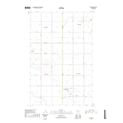
2020 Map of Deering
USGS Topo · Published 2020About this map
The prairie landscape of the Drift Prairie region takes center stage in this detailed survey of north-central North Dakota. This section of the state is defined by the intersection of three counties—Ward, Renville, and McHenry—with the town of Deering serving as the primary hub along Main St E. The drainage of Little Deep Cr and the waters of Spring Coulee carve through the agricultural grid, revealing the subtle hydrology of the Souris River basin. Genealogists will find significant value in the preservation of local burial sites, including the Nidaros Lutheran Cem near Wolseth, as well as Bethel Cem and Deering Lutheran Cem. Aviation history is noted by the presence of Millers Airstrip, reflecting the importance of private flight in these expansive northern plains.
Find a feature on this map
30 named features on this map. Tap any name to fly to it.
Don’t see what you’re looking for? This feature index may not catch every label — zoom into the map to look around manually.
Map Details
Editions of this 2020 Deering Map
This is the sole edition of this map. No revisions or reprints were ever made.
Other maps of this area

1948 · Newburg SW
USGS Topo · 1:24,000

1949 · Glenburn
USGS Topo · 1:24,000

1949 · Deering NW
USGS Topo · 1:24,000

1949 · Deering SW
USGS Topo · 1:24,000

1949 · Newburg SW
USGS Topo · 1:24,000

1949 · Deering SE
USGS Topo · 1:24,000

1949 · Granville NW
USGS Topo · 1:24,000

1949 · Granville SW
USGS Topo · 1:24,000

1949 · Eckman SE
USGS Topo · 1:24,000

1949 · Deering
USGS Topo · 1:24,000