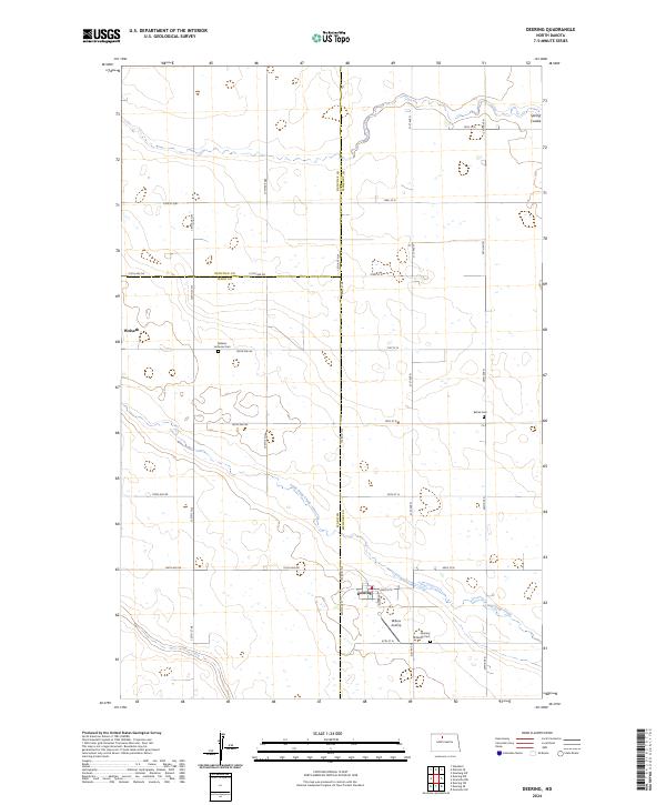
2024 Map of Deering
USGS Topo · Published 2024About this map
Deering serves as the primary hub in this portion of the northern plains, situated at the junction of Main St E and various county sections. The landscape is defined by the gentle drainage patterns of Little Deep Creek and Spring Coulee, which wind through a grid of section roads like 156th Ave NE and 212th Ave NE. The presence of established community landmarks such as Nidaros Lutheran Cem and Deering Lutheran Cem provides valuable points of reference for genealogists tracking early families in this rural corridor. Near the settlement of Wolseth, the terrain remains largely agricultural, punctuated by small wetlands and intermittent watercourses. Private aviation is represented by Millers Airstrip, located just south of the town center, reflecting the wide-open geography and the practical needs of remote farming communities in this tri-county border region where McHenry, Ward, and Renville counties meet.
Find a feature on this map
29 named features on this map. Tap any name to fly to it.
Don’t see what you’re looking for? This feature index may not catch every label — zoom into the map to look around manually.
Map Details
Editions of this 2024 Deering Map
This is the sole edition of this map. No revisions or reprints were ever made.
Other maps of this area

1948 · Newburg SW
USGS Topo · 1:24,000

1949 · Glenburn
USGS Topo · 1:24,000

1949 · Deering NW
USGS Topo · 1:24,000

1949 · Deering SW
USGS Topo · 1:24,000

1949 · Newburg SW
USGS Topo · 1:24,000

1949 · Deering SE
USGS Topo · 1:24,000

1949 · Granville NW
USGS Topo · 1:24,000

1949 · Granville SW
USGS Topo · 1:24,000

1949 · Eckman SE
USGS Topo · 1:24,000

1949 · Deering
USGS Topo · 1:24,000