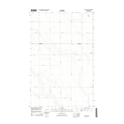
2014 Map of Deering NW
USGS Topo · Published 2014About this map
The boundary between Renville Co and Ward Co bisects this northern prairie landscape, where the settlement of Wolseth serves as the primary focal point for local history. The terrain is defined by the subtle drainage patterns of Little Deep Creek and Egg Creek, which wind through a grid of agricultural section roads. In the northeast corner, Spring Coulee cuts into the plains near several section lines, including 74th St NW and 212th Ave NE. This 2014 survey documents the enduring rural structure of the region, showing how the original land survey system continues to dictate the placement of modern infrastructure and property boundaries long after the initial homesteading era.
Find a feature on this map
13 named features on this map. Tap any name to fly to it.
Don’t see what you’re looking for? This feature index may not catch every label — zoom into the map to look around manually.
Map Details
Editions of this 2014 Deering NW Map
This is the sole edition of this map. No revisions or reprints were ever made.
Other maps of this area

1948 · Lansford
USGS Topo · 1:62,500

1948 · Burlington
USGS Topo · 1:62,500

1949 · Glenburn
USGS Topo · 1:24,000

1949 · Deering NW
USGS Topo · 1:24,000

1949 · Deering SW
USGS Topo · 1:24,000

1949 · Deering SE
USGS Topo · 1:24,000

1949 · Lansford SE
USGS Topo · 1:24,000

1949 · Burlington SE
USGS Topo · 1:24,000

1949 · Eckman SE
USGS Topo · 1:24,000

1949 · Deering
USGS Topo · 1:24,000