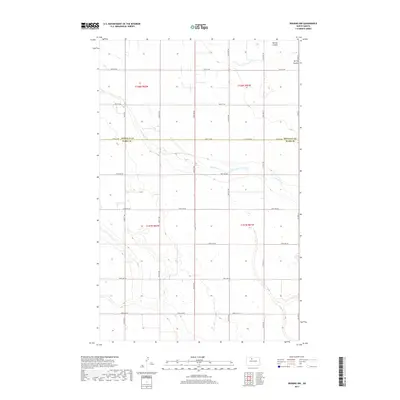
2017 Map of Deering NW
USGS Topo · Published 2017About this map
The jurisdictional boundary between Renville Co and Ward Co bisects this 2017 study of the North Dakota plains. The landscape is defined by the subtle drainage patterns of Little Deep Cr, which meanders through the central sections, and Egg Cr in the southwest. This area preserves a strict section-line road grid typical of the Great Plains, where routes like 74th St NW and 22nd Ave NW follow the township and range divisions of the Public Land Survey System. Away from the primary corridors of Co Hwy 21 and Co Rd 15, the terrain is marked by seasonal water features like Spring Coulee and numerous small prairie potholes, illustrating the glaciated hydrology of the Mouse River valley region.
Find a feature on this map
29 named features on this map. Tap any name to fly to it.
Don’t see what you’re looking for? This feature index may not catch every label — zoom into the map to look around manually.
Map Details
Editions of this 2017 Deering NW Map
This is the sole edition of this map. No revisions or reprints were ever made.
Other maps of this area

1948 · Lansford
USGS Topo · 1:62,500

1948 · Burlington
USGS Topo · 1:62,500

1949 · Glenburn
USGS Topo · 1:24,000

1949 · Deering NW
USGS Topo · 1:24,000

1949 · Deering SW
USGS Topo · 1:24,000

1949 · Deering SE
USGS Topo · 1:24,000

1949 · Lansford SE
USGS Topo · 1:24,000

1949 · Burlington SE
USGS Topo · 1:24,000

1949 · Eckman SE
USGS Topo · 1:24,000

1949 · Deering
USGS Topo · 1:24,000