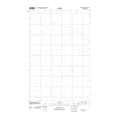
2011 Map of Deering SE
USGS Topo · Published 2011About this map
Egg Creek meanders across this rural section of Ward County, defining the drainage patterns of an area dominated by a strict sectional road grid. The landscape is characterized by its organized agricultural layout, with east-west corridors such as 128th Ave NE and 100th Ave NE spaced at regular intervals. These roads, along with north-south routes like 111th St NE and 167th St NE, provide the primary infrastructure for the farming community. The subtle terrain changes indicated by the topography around Egg Creek stand in contrast to the engineered precision of the township and range lines. This 2011 survey, produced with U.S. Geological Survey data, captures the intersection of natural watercourses and the human-imposed geometry of the Great Plains, illustrating how late-twentieth and early-twenty-first-century infrastructure follows the original nineteenth-century land survey system.
Find a feature on this map
22 named features on this map. Tap any name to fly to it.
Don’t see what you’re looking for? This feature index may not catch every label — zoom into the map to look around manually.
Map Details
Editions of this 2011 Deering SE Map
This is the sole edition of this map. No revisions or reprints were ever made.
Other maps of this area

1929 · Sawyer
USGS Topo · 1:62,500

1948 · Velva
USGS Topo · 1:62,500

1948 · Surrey
USGS Topo · 1:24,000

1949 · Norwich
USGS Topo · 1:24,000

1949 · Sawyer NE
USGS Topo · 1:24,000

1949 · Deering NW
USGS Topo · 1:24,000

1949 · Deering SW
USGS Topo · 1:24,000

1949 · Deering SE
USGS Topo · 1:24,000

1949 · Granville NW
USGS Topo · 1:24,000

1949 · Granville SW
USGS Topo · 1:24,000