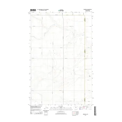
2014 Map of Deering SE
USGS Topo · Published 2014About this map
The winding course of Egg Cr dominates this rural landscape in the 2014 survey, carving through the open plains of north-central North Dakota. This section of the drift prairie is defined by a rigid section-line road network, including thoroughfares such as 153rd St Ne and 128th Ave Ne, which illustrate the enduring influence of the Public Land Survey System on modern infrastructure. Along the eastern edge, the Ward Co McHenry Co boundary line bisects the terrain, marking the administrative divide in a region otherwise unified by its agricultural character. The topography is subtle but distinct, with drainage features like Hay Coulee providing the only break in the high-elevation flats. This map offers a precise view of the sparsely populated ranchland and farm holdings as they appeared in the early 21st century.
Find a feature on this map
27 named features on this map. Tap any name to fly to it.
Don’t see what you’re looking for? This feature index may not catch every label — zoom into the map to look around manually.
Map Details
Editions of this 2014 Deering SE Map
This is the sole edition of this map. No revisions or reprints were ever made.
Other maps of this area

1929 · Sawyer
USGS Topo · 1:62,500

1948 · Velva
USGS Topo · 1:62,500

1948 · Surrey
USGS Topo · 1:24,000

1949 · Norwich
USGS Topo · 1:24,000

1949 · Sawyer NE
USGS Topo · 1:24,000

1949 · Deering NW
USGS Topo · 1:24,000

1949 · Deering SW
USGS Topo · 1:24,000

1949 · Deering SE
USGS Topo · 1:24,000

1949 · Granville NW
USGS Topo · 1:24,000

1949 · Granville SW
USGS Topo · 1:24,000