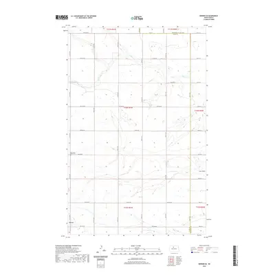
2020 Map of Deering SE
USGS Topo · Published 2020About this map
Old German Baptist Cem stands as a focal point for local history within this 2020 landscape, situated near the western edge of the quadrangle. This portion of the North Dakota plains is characterized by a precise grid of rural roads, including 114th Ave NE and 153rd St NE, which define the agricultural sections of the region. The settlement of Surrey is visible in the southwestern corner, serving as a primary residential hub. The terrain is marked by natural drainage features like Egg Cr in the north and Hay Coulee in the southeast, which contrast with the straight lines of the township and range boundaries. The map also documents the political division between McHenry Co and Ward Co, tracing how administrative lines intersect with the physical topography of the northern prairie.
Find a feature on this map
39 named features on this map. Tap any name to fly to it.
Don’t see what you’re looking for? This feature index may not catch every label — zoom into the map to look around manually.
Map Details
Editions of this 2020 Deering SE Map
This is the sole edition of this map. No revisions or reprints were ever made.
Other maps of this area

1929 · Sawyer
USGS Topo · 1:62,500

1948 · Velva
USGS Topo · 1:62,500

1948 · Surrey
USGS Topo · 1:24,000

1949 · Norwich
USGS Topo · 1:24,000

1949 · Sawyer NE
USGS Topo · 1:24,000

1949 · Deering NW
USGS Topo · 1:24,000

1949 · Deering SW
USGS Topo · 1:24,000

1949 · Deering SE
USGS Topo · 1:24,000

1949 · Granville NW
USGS Topo · 1:24,000

1949 · Granville SW
USGS Topo · 1:24,000