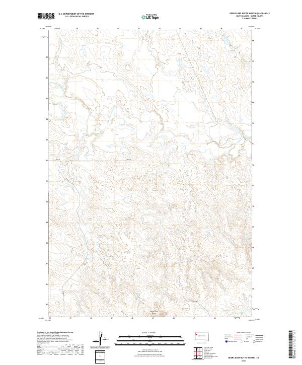
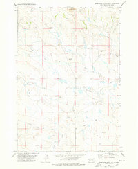
2021 Map of Deers Ears Butte North
USGS Topo · Published 2021About this map
Deers Ears Butte stands as a prominent landmark in this high plains landscape within Butte County, anchoring a terrain defined by complex drainage networks. The northern reaches are shaped by the S Fork Moreau River, which is fed by several seasonal tributaries including Flat Cr and Horse Cr. This rural expanse is marked by the rectangular grid of the Public Land Survey System, with township lines for T13N and T12N dividing the area. Human presence is sparse, indicated primarily by a handful of established routes like Graf Rd and Ebk Rd that cut across the rangeland. The presence of numerous named drainages such as Warren Cr and Spring Cr suggests the vital importance of water management in this cattle-grazing territory during the early twenty-first century.
Find a feature on this map
14 named features on this map. Tap any name to fly to it.
Don’t see what you’re looking for? This feature index may not catch every label — zoom into the map to look around manually.
Map Details
Editions of this 2021 Deers Ears Butte North Map
This is the sole edition of this map. No revisions or reprints were ever made.
Other maps of this area

1913 · Newell
USGS Topo · 1:125,000

1935 · Hoover
USGS Topo · 1:125,000

1953 · Rapid City
USGS Topo · 1:250,000

1954 · Lemmon
USGS Topo · 1:250,000

1957 · Lemmon
USGS Topo · 1:250,000

1957 · Rapid City
USGS Topo · 1:250,000
1973 · Deers Ears Butte North
USGS Topo · 1:24,000
1977 · Hoover
USGS Topo · 1:24,000
1977 · Granger Creek
USGS Topo · 1:24,000
1977 · Deers Ears Butte South
USGS Topo · 1:24,000