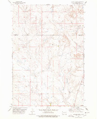
1977 Map of Granger Creek
USGS Topo · Published 1978About this map
Granger Creek and its many tributaries carve through this section of the western South Dakota plains, where the Harding County and Butte County line divides the landscape. Recorded during the 1970s, the terrain is defined by a complex network of seasonal drainages, including Muddy Creek, Sand Creek, and Badlands Creek. A solitary Cottonwood Sch stands in the southeastern portion of the map, serving as a rare marker of localized community life in a region primarily dedicated to rangeland. Evidence of resource exploration or ranching infrastructure is present through scattered markings for a Drill Hole and Well. The map illustrates a sparse settlement pattern characteristic of the High Plains, where human activity is often centered around the reliable water sources provided by Cottonwood Creek and South Cottonwood Creek.
Find a feature on this map
10 named features on this map. Tap any name to fly to it.
Don’t see what you’re looking for? This feature index may not catch every label — zoom into the map to look around manually.
Map Details
Editions of this 1977 Granger Creek Map
This is the sole edition of this map. No revisions or reprints were ever made.
Other maps of this area

1935 · Hoover
USGS Topo · 1:125,000

1954 · Lemmon
USGS Topo · 1:250,000

1957 · Lemmon
USGS Topo · 1:250,000

1968 · Irish Butte
USGS Topo · 1:24,000

1973 · Lone Tree Draw East
USGS Topo · 1:24,000
1973 · Deers Ears Butte North
USGS Topo · 1:24,000
1973 · Haystack Butte
USGS Topo · 1:24,000
1977 · Hoover
USGS Topo · 1:24,000
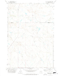
1978 · Porter Creek
USGS Topo · 1:24,000
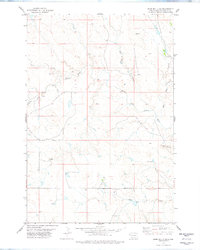
1978 · Bams Butte SE
USGS Topo · 1:24,000