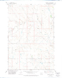
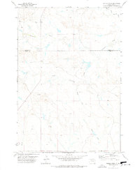
1978 Map of Bams Butte SE
USGS Topo · Published 1978About this map
The North Fork Moreau River meanders through this portion of Harding County, defining the drainage patterns of a landscape marked by intermittent watercourses and isolated topographic rises. The terrain is characterized by prominent landmarks like Saddle Butte and the high point at Murchison, which provided essential navigational anchors in the open country. The water network is particularly detailed, showing the convergence of Goose Creek, Wolf Creek, and Giannonatti Cr as they feed into the Moreau basin. Evidence of land use and resource exploration is visible through scattered features such as a Drill Hole and several designated Well sites, reflecting the rural infrastructure of the late 1970s. The map also captures local-named drainage features like Swallow Draw and Cowboy Creek, which illustrate the seasonal hydrology of the South Dakota plains.
Find a feature on this map
11 named features on this map. Tap any name to fly to it.
Don’t see what you’re looking for? This feature index may not catch every label — zoom into the map to look around manually.
Map Details
Editions of this 1978 Bams Butte SE Map
This is the sole edition of this map. No revisions or reprints were ever made.
Other maps of this area

1935 · Hoover
USGS Topo · 1:125,000

1954 · Lemmon
USGS Topo · 1:250,000

1957 · Lemmon
USGS Topo · 1:250,000

1968 · Irish Butte
USGS Topo · 1:24,000

1968 · J B Hill
USGS Topo · 1:24,000

1973 · Lone Tree Draw East
USGS Topo · 1:24,000
1977 · Granger Creek
USGS Topo · 1:24,000
1978 · Bams Butte NW
USGS Topo · 1:24,000
1978 · Bams Butte
USGS Topo · 1:24,000
1978 · Porter Creek
USGS Topo · 1:24,000