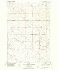
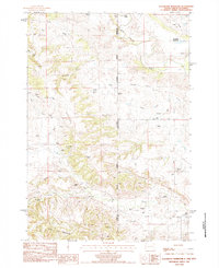
1973 Map of Lone Tree Draw East
USGS Topo · Published 1977This historical map portrays the area of Lone Tree Draw East in 1973, primarily covering Butte County as well as portions of Harding County. Featuring a scale of 1:24000, this map provides a highly detailed snapshot of the terrain, roads, buildings, counties, and historical landmarks in the Lone Tree Draw East region at the time. Published in 1977, it is the sole known edition of this map.
Map Details
Editions of this 1973 Lone Tree Draw East Map
This is the sole edition of this map. No revisions or reprints were ever made.
Historical Maps of Butte County Through Time
38 maps found
1905 Saint Onge
Butte County, SD
1907 Redwater
Butte County, SD
1951 Vale NE
Butte County, SD
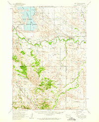
1954 Saint Onge
Butte County, SD
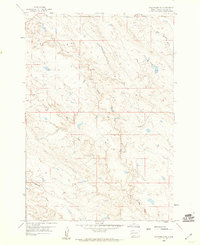
1959 Volunteer NE
Butte County, SD
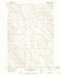
1959 Volunteer NW
Butte County, SD
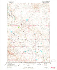
1965 Antelope Butte
Butte County, SD
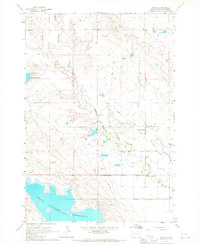
1965 Arpan
Butte County, SD
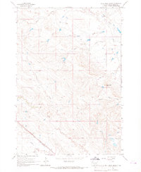
1965 Bull Creek Butte
Butte County, SD
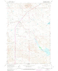
1965 Mud Buttes
Butte County, SD
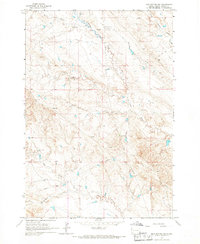
1965 Mud Buttes NW
Butte County, SD
1965 Two Top Butte East
Butte County, SD
1965 Two Top Butte SE
Butte County, SD
1965 Two Top Butte West
Butte County, SD
1973 Antelope Creek East
Butte County, SD
1973 Deers Ears Butte North
Butte County, SD
1973 Haystack Butte
Butte County, SD

1973 Lone Tree Draw East
Butte County, SD
1973 Lone Tree Draw West
Butte County, SD
1973 Owl Butte
Butte County, SD
1977 Antelope Creek West
Butte County, SD
1977 Castle Rock
Butte County, SD
1977 Deers Ears Butte South
Butte County, SD
1977 Granger Creek
Butte County, SD
1977 Greasewood Draw
Butte County, SD
1977 Hoover
Butte County, SD
1977 Newell Lake
Butte County, SD
1977 Owl Butte SE
Butte County, SD
1978 Alkali Creek East
Butte County, SD
1978 Alkali Creek West
Butte County, SD
1978 Battle Creek Butte
Butte County, SD
1978 Fish Draw
Butte County, SD
1978 Owl Butte NE
Butte County, SD
1978 Porter Creek
Butte County, SD
1978 Schoepp Flat
Butte County, SD
1978 Sulphur Butte
Butte County, SD
1984 Slaughter Reservoir
Butte County, SD
1984 Sourdough Flats
Butte County, SD