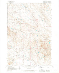
1965 Map of Mud Buttes NW
USGS Topo · Published 1967About this map
Gilger Ranch and McClure Ranch anchor the northern landscape of this Butte County territory, where the drainages of South Indian Creek and Watson Draw carve through the high plains. The map illustrates a mid-century ranching environment defined by wide-reaching water systems, including the long paths of Owl Creek and Big Creek. A prominent Pipeline and its associated Pumping Station cut across the terrain near Antelope Sch, signaling the technical infrastructure required to support this remote region.
Find a feature on this map
12 named features on this map. Tap any name to fly to it.
Don’t see what you’re looking for? This feature index may not catch every label — zoom into the map to look around manually.
Map Details
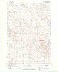
Editions of this 1965 Mud Buttes NW Map
2 editions found
Other maps of this area

1901 · Aladdin
USGS Topo · 1:125,000

1903 · Aladdin
USGS Topo · 1:125,000

1905 · Indian
USGS Topo · 1:62,500

1907 · Belle Fourche
USGS Topo · 1:125,000

1935 · Harding
USGS Topo · 1:125,000

1953 · Rapid City
USGS Topo · 1:250,000

1954 · Lemmon
USGS Topo · 1:250,000

1954 · Ekalaka
USGS Topo · 1:250,000

1954 · Gillette
USGS Topo · 1:250,000

1955 · Gillette
USGS Topo · 1:250,000