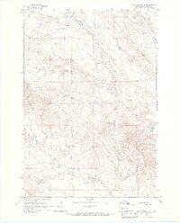
1965 Map of Mud Buttes NW
USGS Topo · Published 1967About this map
Geiger Ranch and McClure Ranch highlight the cattle-ranching layout of Butte County in the mid-1960s. This western South Dakota landscape is defined by a dendritic network of seasonal drainages, including South Indian Creek, Owl Creek, and Short Creek, which provided essential water sources for livestock in an arid environment. The map shows the infrastructure of remote range management, from the isolated Antelope Sch to the industrial presence of a Pumping Station and an extensive pipeline cutting across the southern sections near Ruben Creek. Genealogists and local historians will find the named homesteads, such as the Mary Larson Ranch, valuable for placing family legacies within the vast public and private land tracts of the Great Plains.
Find a feature on this map
13 named features on this map. Tap any name to fly to it.
Don’t see what you’re looking for? This feature index may not catch every label — zoom into the map to look around manually.
Map Details
Editions of this 1965 Mud Buttes NW Map
2 editions found
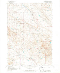
Other maps of this area

1901 · Aladdin
USGS Topo · 1:125,000

1903 · Aladdin
USGS Topo · 1:125,000

1905 · Indian
USGS Topo · 1:62,500

1907 · Belle Fourche
USGS Topo · 1:125,000

1935 · Harding
USGS Topo · 1:125,000

1953 · Rapid City
USGS Topo · 1:250,000

1954 · Lemmon
USGS Topo · 1:250,000

1954 · Ekalaka
USGS Topo · 1:250,000

1954 · Gillette
USGS Topo · 1:250,000

1955 · Gillette
USGS Topo · 1:250,000