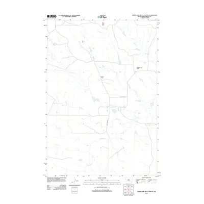
2012 Map of Deers Ears Butte South
USGS Topo · Published 2012About this map
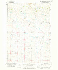
Deers Ears Butte and Snake Butte rise above a landscape defined by an extensive network of prairie drainages in this 2012 survey. The area is marked by the winding paths of Sulphur Cr and its tributaries, including Johns Cr and Lonetree Cr. This portion of Butte County preserves a traditional rangeland character, where the sparse road network consists primarily of localized routes such as Old Twilight Rd and New Twilight Rd. The naming of prominent landmarks like Lookout Butte and Wheelbarrow Butte reflects the early navigational needs of settlers and ranchers in this open terrain. For those studying the hydrography of the region, the map provides detailed placement of the Double R Cr and S Double R Cr systems, illustrating the complex watershed that feeds the larger plains environment.
Find a feature on this map
13 named features on this map. Tap any name to fly to it.
Don’t see what you’re looking for? This feature index may not catch every label — zoom into the map to look around manually.
Map Details
Editions of this 2012 Deers Ears Butte South Map
This is the sole edition of this map. No revisions or reprints were ever made.
Other maps of this area

1913 · Newell
USGS Topo · 1:125,000

1935 · Hoover
USGS Topo · 1:125,000

1953 · Rapid City
USGS Topo · 1:250,000

1954 · Lemmon
USGS Topo · 1:250,000

1957 · Lemmon
USGS Topo · 1:250,000

1957 · Rapid City
USGS Topo · 1:250,000
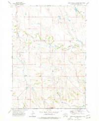
1973 · Deers Ears Butte North
USGS Topo · 1:24,000
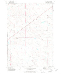
1973 · Owl Butte
USGS Topo · 1:24,000
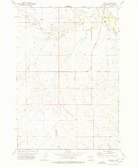
1977 · Hoover
USGS Topo · 1:24,000
1977 · Deers Ears Butte South
USGS Topo · 1:24,000