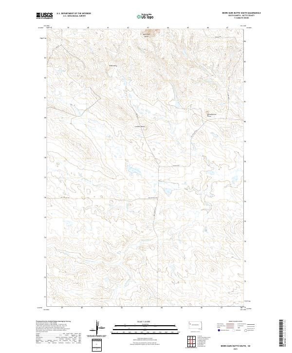
2021 Map of Deers Ears Butte South
USGS Topo · Published 2021About this map
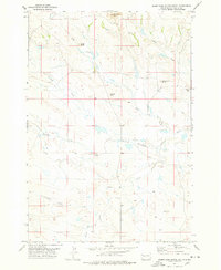
Deers Ears Butte and Snake Butte command the horizon in this high-plains landscape of Butte County. The terrain is defined by a dendritic network of ephemeral waterways, including Lonetree Creek and the various branches of Double R Cr. These drainages carve through a sparsely settled ranching environment where section lines and section corners dictate the placement of local thoroughfares like Old Twilight Rd and Johnson Rd. Landmarks such as Lookout Butte and Wheelbarrow Butte provide essential orientation points across the undulating grasslands. The map's layout, organized by townships t12n r7e and t11n r8e, illustrates the enduring influence of the Public Land Survey System on the modern geography of the western Dakotas, marking out a landscape where water and elevation remain the primary drivers of human activity and road placement.
Find a feature on this map
22 named features on this map. Tap any name to fly to it.
Don’t see what you’re looking for? This feature index may not catch every label — zoom into the map to look around manually.
Map Details
Editions of this 2021 Deers Ears Butte South Map
This is the sole edition of this map. No revisions or reprints were ever made.
Other maps of this area

1913 · Newell
USGS Topo · 1:125,000

1935 · Hoover
USGS Topo · 1:125,000

1953 · Rapid City
USGS Topo · 1:250,000

1954 · Lemmon
USGS Topo · 1:250,000

1957 · Lemmon
USGS Topo · 1:250,000

1957 · Rapid City
USGS Topo · 1:250,000
1973 · Deers Ears Butte North
USGS Topo · 1:24,000
1973 · Owl Butte
USGS Topo · 1:24,000
1977 · Hoover
USGS Topo · 1:24,000
1977 · Deers Ears Butte South
USGS Topo · 1:24,000