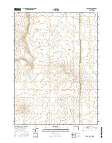
2017 Map of Defeat Butte
USGS Topo · Published 2017About this map
Defeat Butte and the adjacent Defeat Ridge dominate this high-desert landscape along the border of Malheur County, Oregon and Owyhee County, Idaho. The terrain is defined by a network of seasonal water catchments and named volcanic features, reflecting the remote cattle-ranching geography of the Great Basin. Large reservoirs such as Mustang Lake Reservoir and North Hoodoo Butte Reservoir are scattered throughout the quadrangle, serving as critical infrastructure for the livestock industry. Drainage patterns like S Fork Toppin Cr and Toppin Cr carve through the landscape, while family-named or descriptive landmarks like Stoney Corral Ridge and Black Snake Reservoir offer points of reference for local land use. This survey captures the sparse, utilitarian settlement of the region in the early 21st century.
Find a feature on this map
26 named features on this map. Tap any name to fly to it.
Don’t see what you’re looking for? This feature index may not catch every label — zoom into the map to look around manually.
Map Details
Editions of this 2017 Defeat Butte Map
This is the sole edition of this map. No revisions or reprints were ever made.
Other maps of this area

1955 · Jordan Valley
USGS Topo · 1:250,000

1957 · Jordan Valley
USGS Topo · 1:250,000

1958 · Jordan Valley
USGS Topo · 1:250,000

1973 · Spring Creek Basin
USGS Topo · 1:24,000
1973 · Star Valley
USGS Topo · 1:24,000
1977 · Bull Basin Camp
USGS Topo · 1:24,000

1982 · Lookout Lake
USGS Topo · 1:24,000
1982 · Star Valley Knoll
USGS Topo · 1:24,000
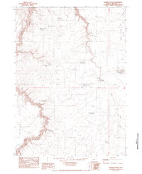
1982 · Rawhide Pocket
USGS Topo · 1:24,000
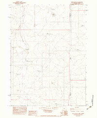
1982 · Defeat Butte
USGS Topo · 1:24,000