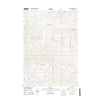
2013 Map of Degan Mountain
USGS Topo · Published 2013About this map
Salmon National Forest defines the character of this Lemhi County landscape, where the high elevations of Degan Mtn and Sheephorn Mtn overlook a complex network of drainage basins and mountain roads. In this 2013 survey, the topography is marked by significant natural catchments like Badger Basin and Peel Tree Basin, which feed into numerous waterways including Lake Cr, Rattlesnake Cr, and the northern and southern forks of Iron Creek. Human activity in these remote reaches is reflected in a system of specialized transport routes such as Haul RD, Rattlesnake Rd, and Iron Creek Rd. Vital water sources for the region, including Sheephorn Spring and Corbett Spring Number 1, are precisely mapped alongside the boundaries of townships T19N and T18N, providing a clear picture of the land's resource-based geography and administrative divisions.
Find a feature on this map
28 named features on this map. Tap any name to fly to it.
Don’t see what you’re looking for? This feature index may not catch every label — zoom into the map to look around manually.
Map Details
Editions of this 2013 Degan Mountain Map
This is the sole edition of this map. No revisions or reprints were ever made.
Other maps of this area

1950 · Salmon
USGS Topo · 1:62,500

1950 · Leesburg
USGS Topo · 1:62,500

1951 · Leesburg
USGS Topo · 1:62,500

1951 · Salmon
USGS Topo · 1:62,500

1955 · Dubois
USGS Topo · 1:250,000

1955 · Dillon
USGS Topo · 1:250,000

1956 · Elk City
USGS Topo · 1:250,000

1957 · Dillon
USGS Topo · 1:250,000

1957 · Challis
USGS Topo · 1:250,000

1958 · Dubois
USGS Topo · 1:250,000