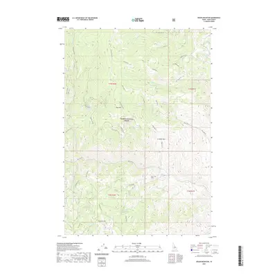
2020 Map of Degan Mountain
USGS Topo · Published 2020About this map
Salmon National Forest defines this high-elevation landscape in Lemhi County, where the topography rises toward Degan Mtn and Sheephorn Mtn. The terrain is deeply incised by a drainage network including Rattlesnake Cr, Deer Creek, and Iron Cr. Human presence is marked primarily by forest management and historical transit, notably the Old Indian Trail which traverses the western slopes. Water resources such as Sheephorn Spring and Corbett Spring Number 1 provide critical points of interest in this drainage system. Significant basins like Badger Basin and Peel Tree Basin sit between the prominent peaks, connected by a network of specialized routes including Iron Creek Rd and Peel Tree Rd, reflecting the area's ongoing importance for forest access and resource management.
Find a feature on this map
33 named features on this map. Tap any name to fly to it.
Don’t see what you’re looking for? This feature index may not catch every label — zoom into the map to look around manually.
Map Details
Editions of this 2020 Degan Mountain Map
This is the sole edition of this map. No revisions or reprints were ever made.
Other maps of this area

1950 · Salmon
USGS Topo · 1:62,500

1950 · Leesburg
USGS Topo · 1:62,500

1951 · Leesburg
USGS Topo · 1:62,500

1951 · Salmon
USGS Topo · 1:62,500

1955 · Dubois
USGS Topo · 1:250,000

1955 · Dillon
USGS Topo · 1:250,000

1956 · Elk City
USGS Topo · 1:250,000

1957 · Dillon
USGS Topo · 1:250,000

1957 · Challis
USGS Topo · 1:250,000

1958 · Dubois
USGS Topo · 1:250,000